Meteo-SBH
.com
Toggle navigation
Retour
Prévisions Météo
Previsions, Meteogrammes et suivi des phénomènes météo.
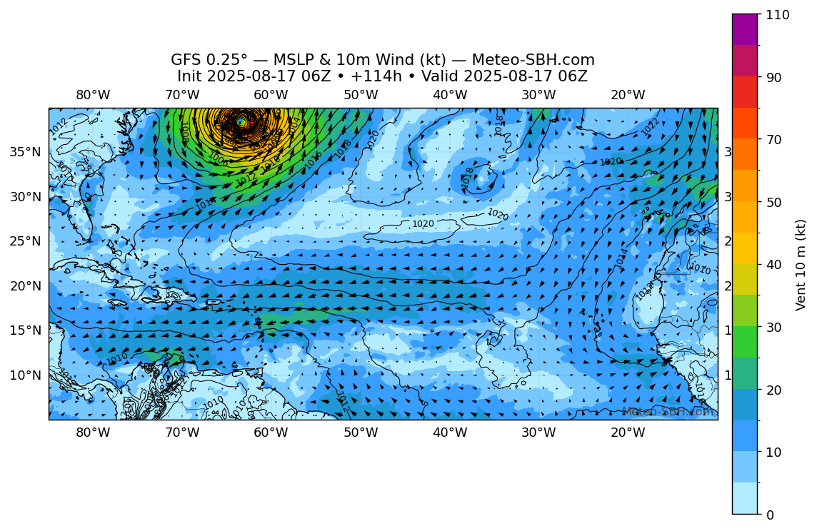
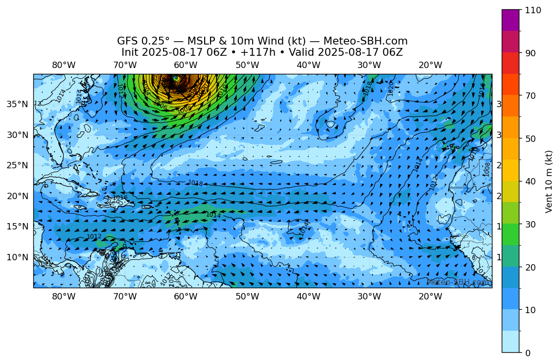
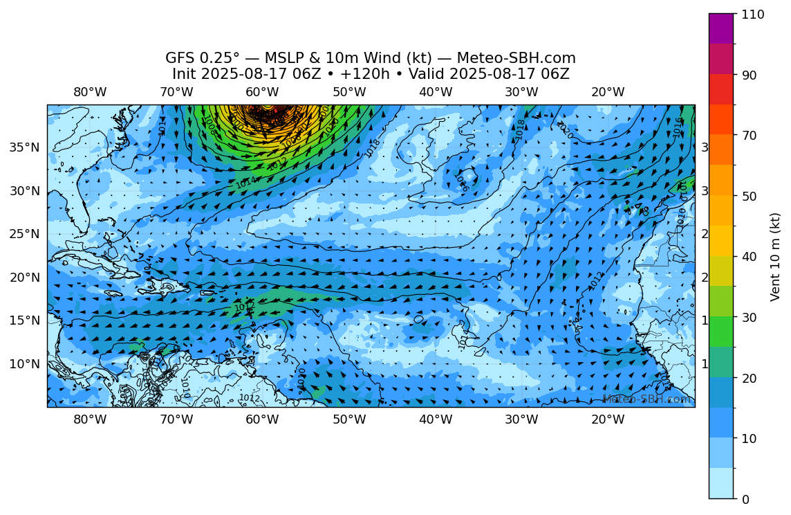
Modèles GFS
Vent en Surface
Précipitations
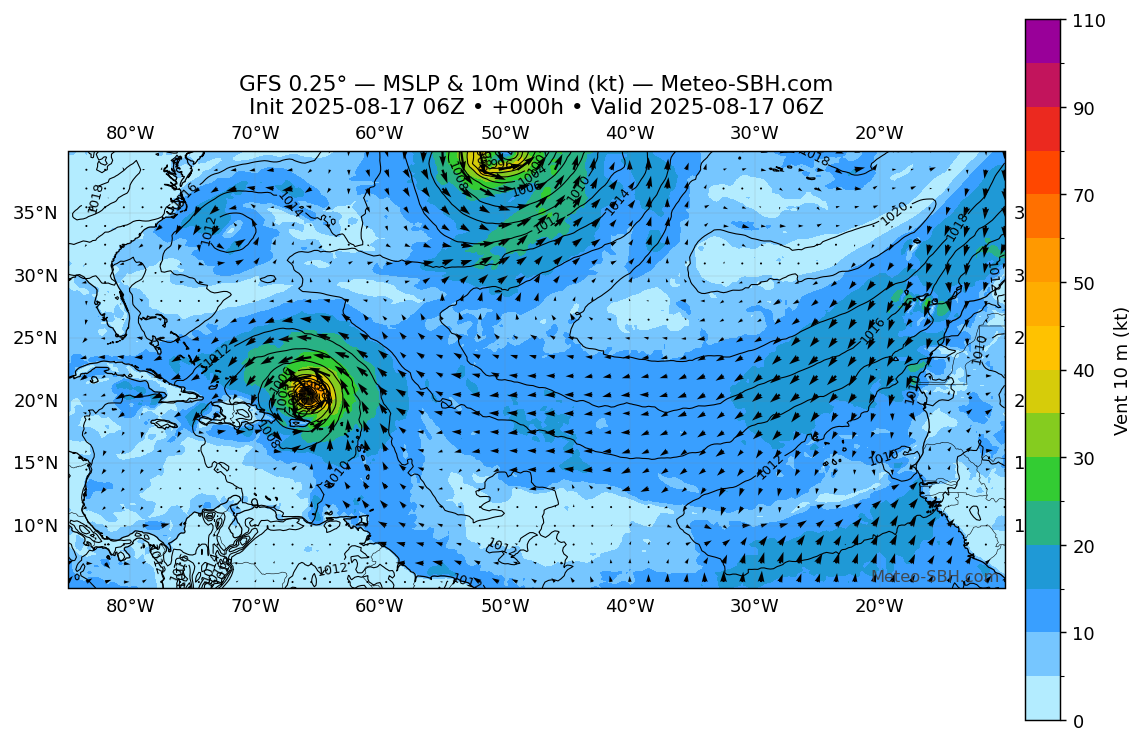
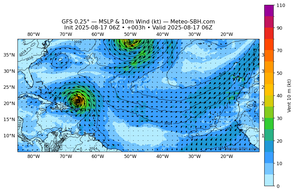
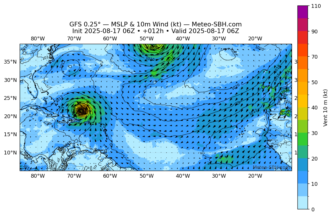
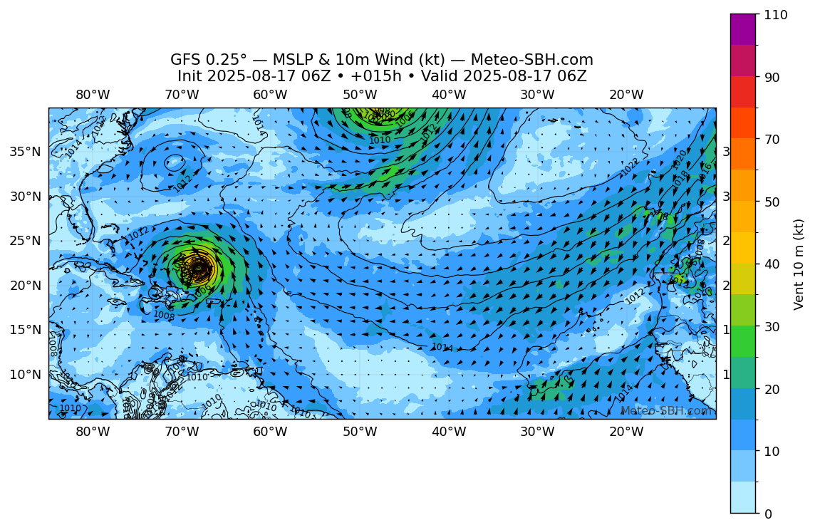
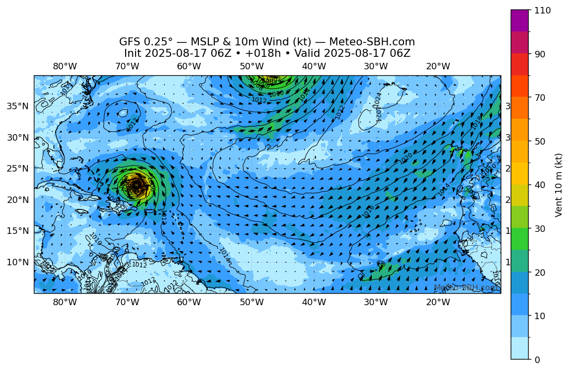
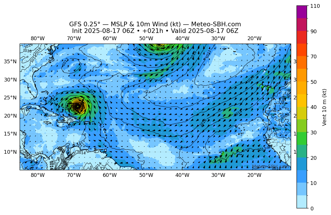
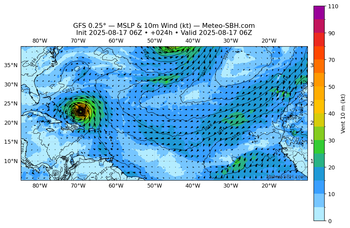
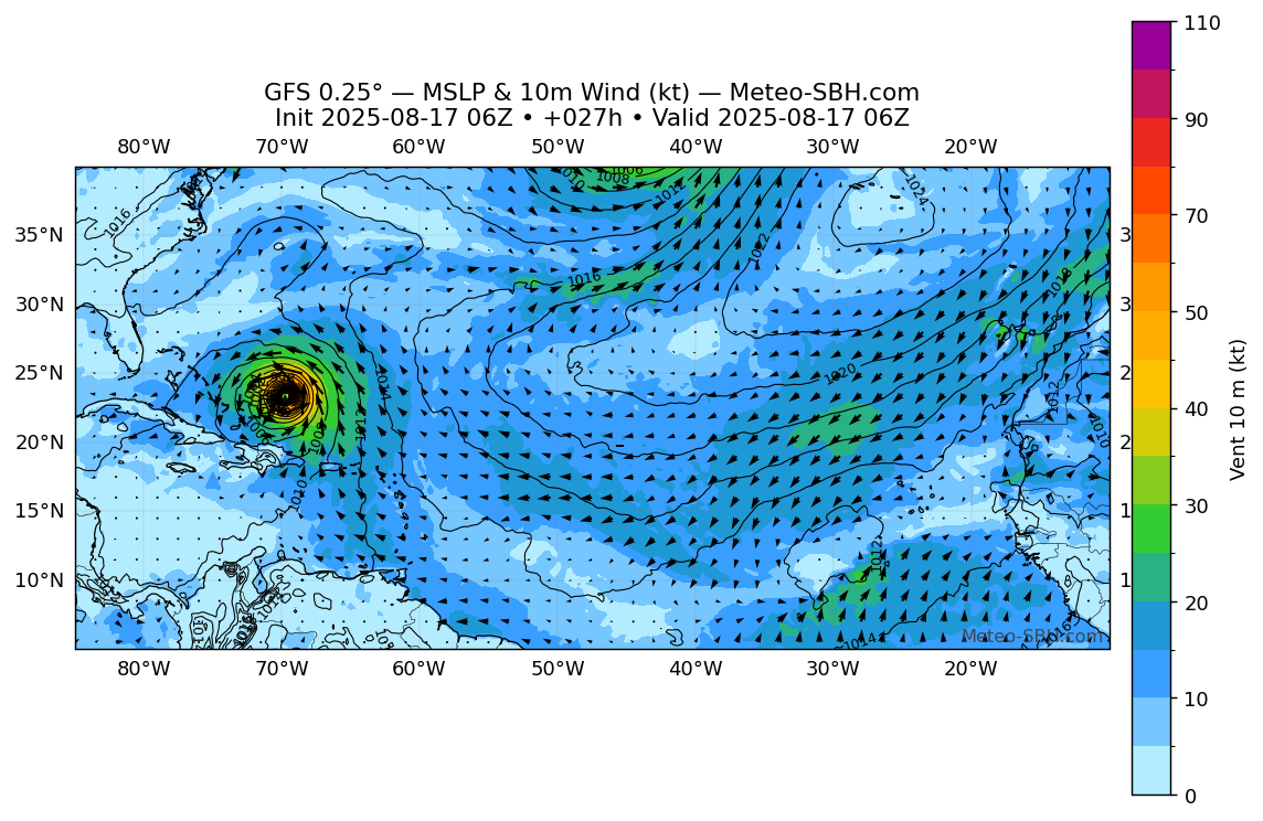
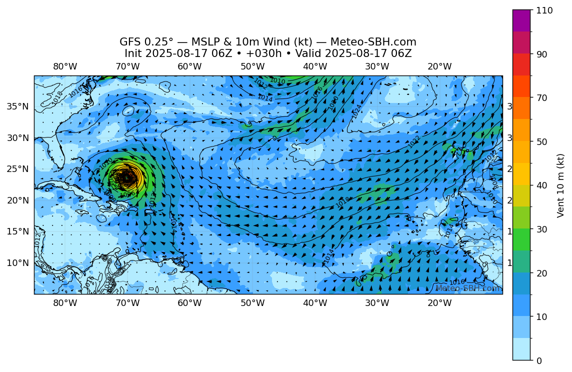
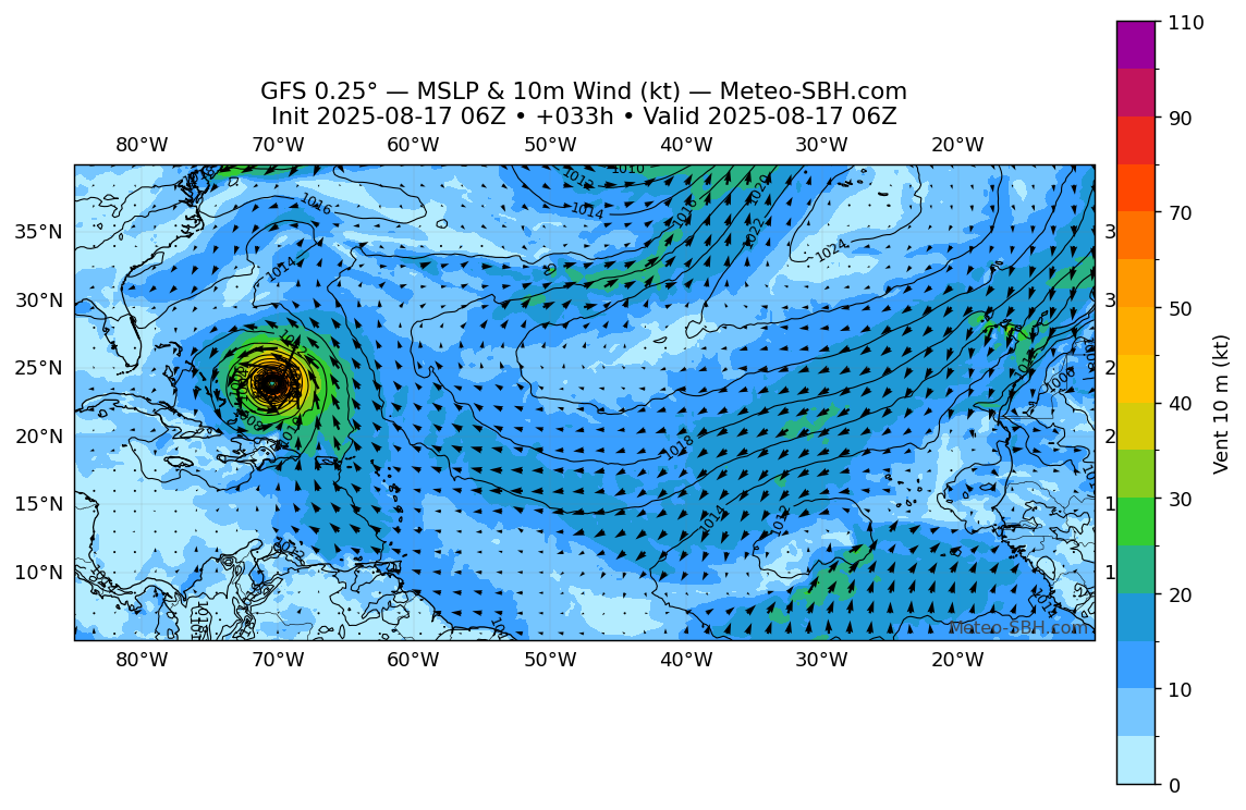
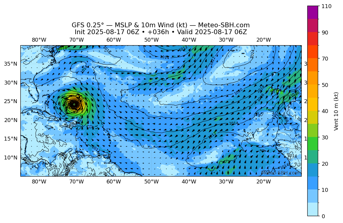
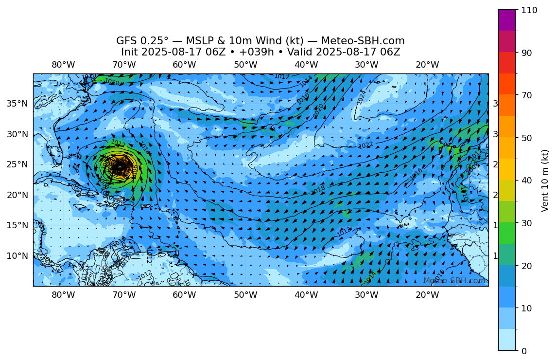
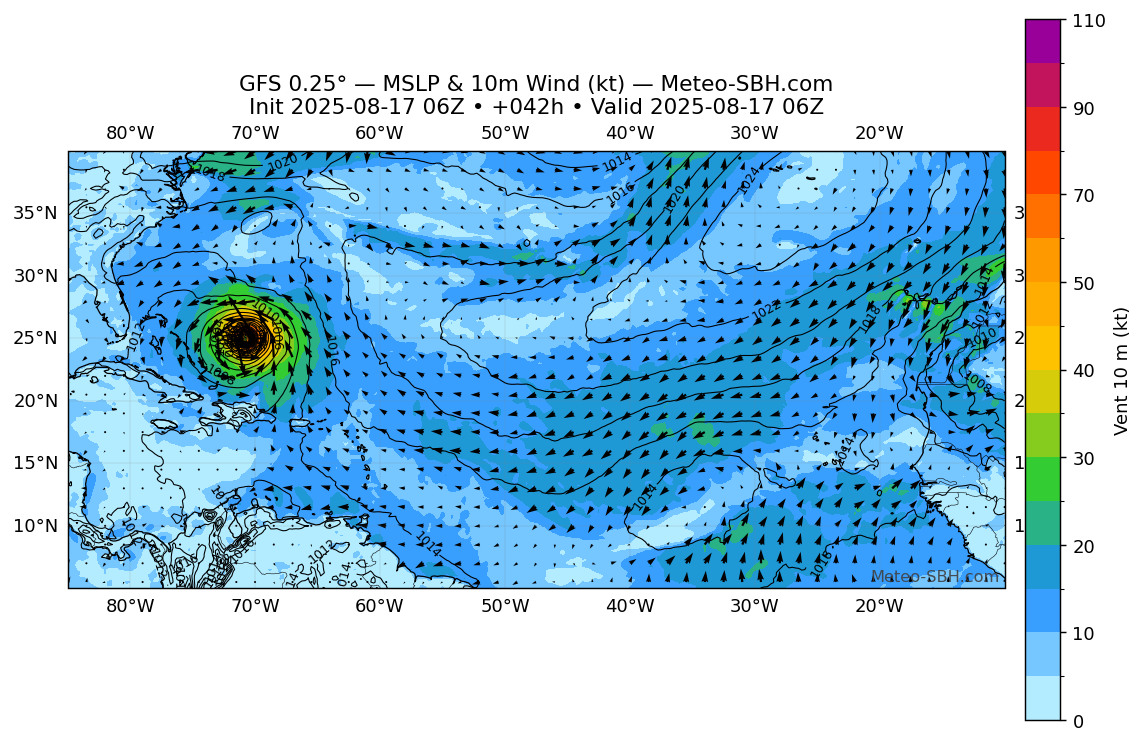
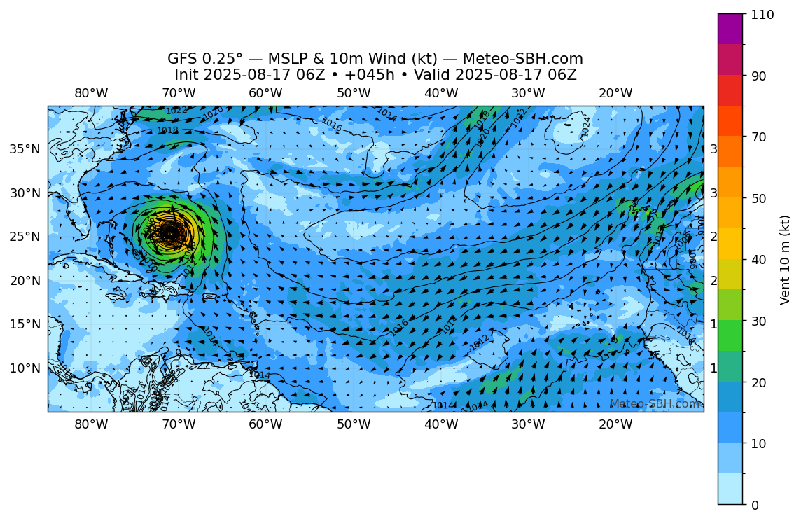
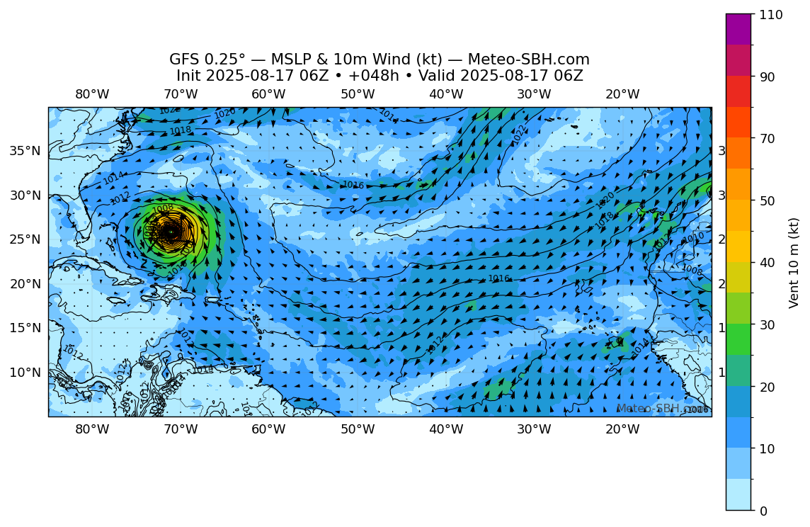
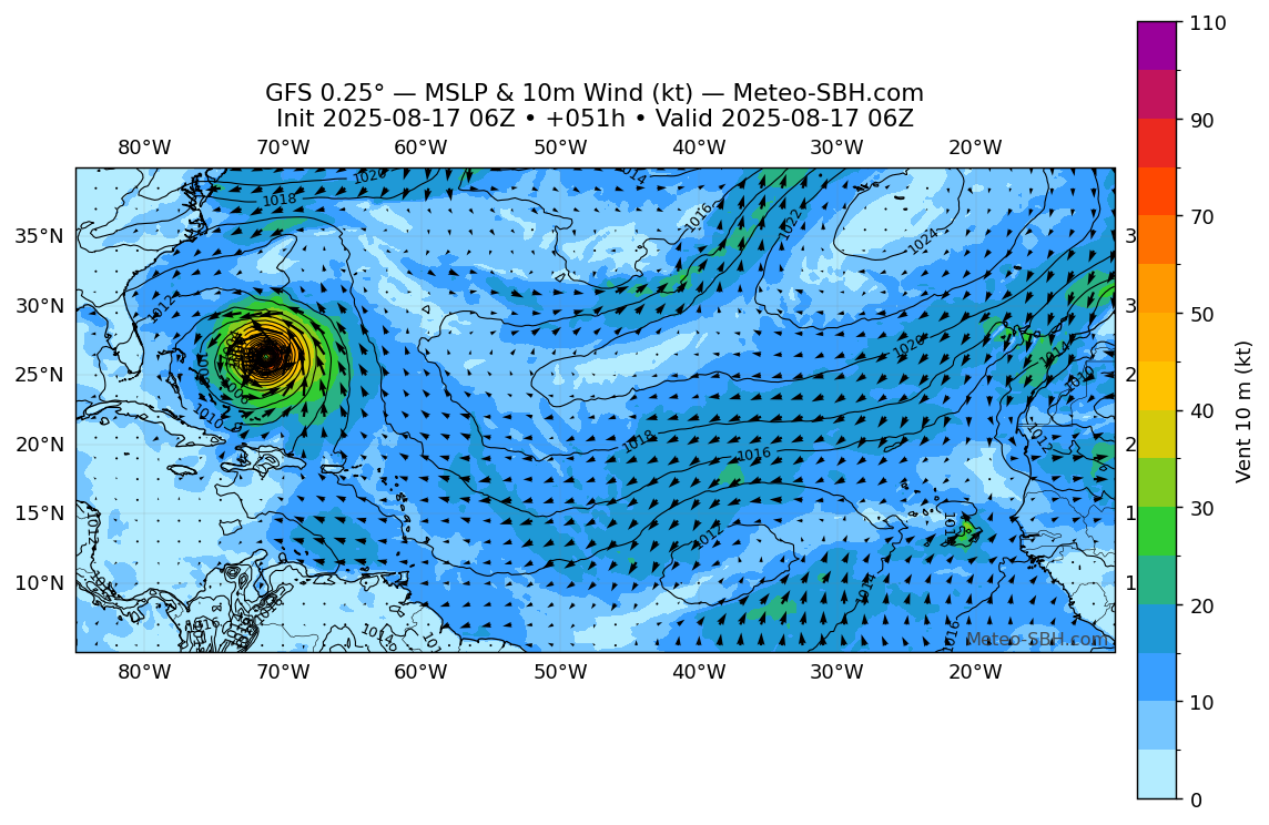
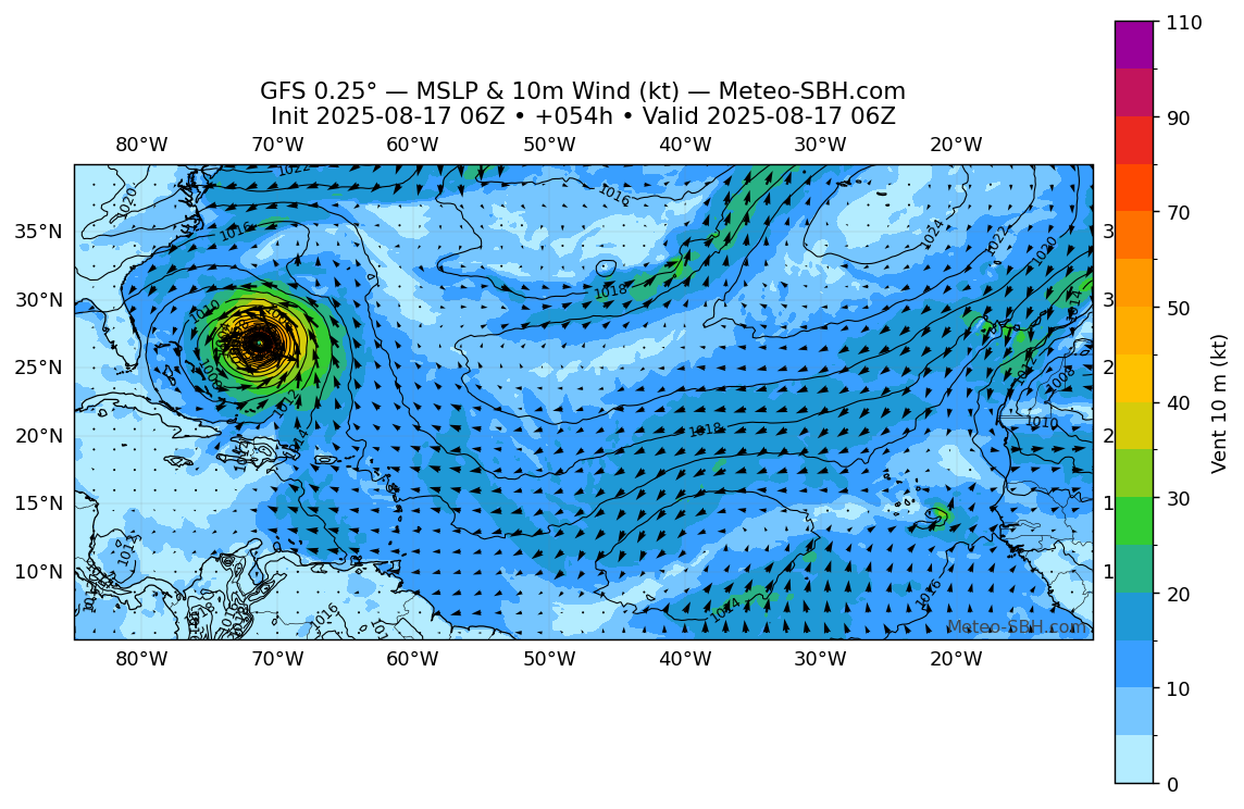
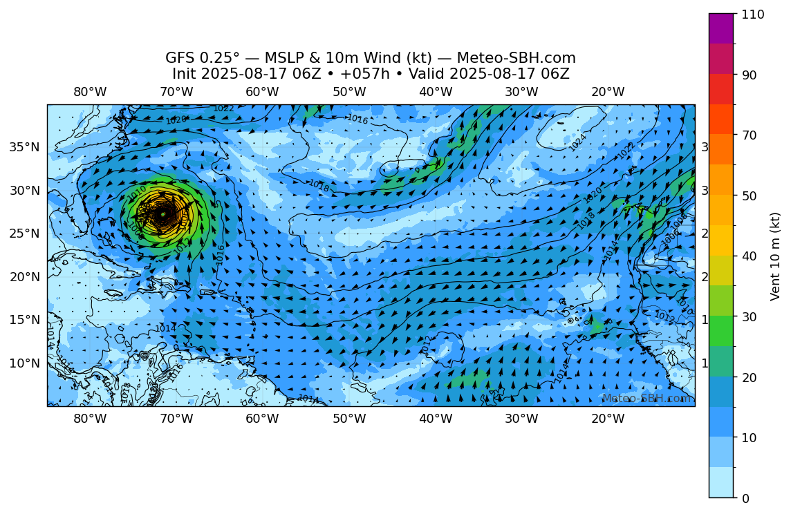
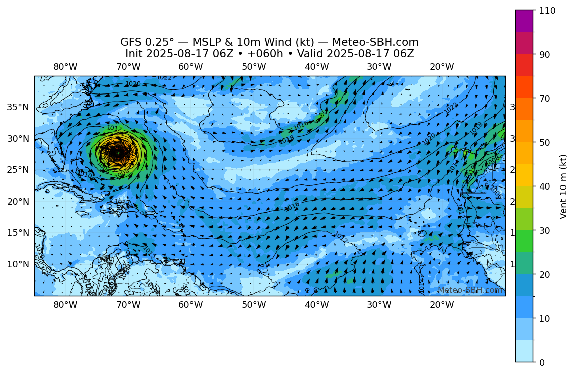
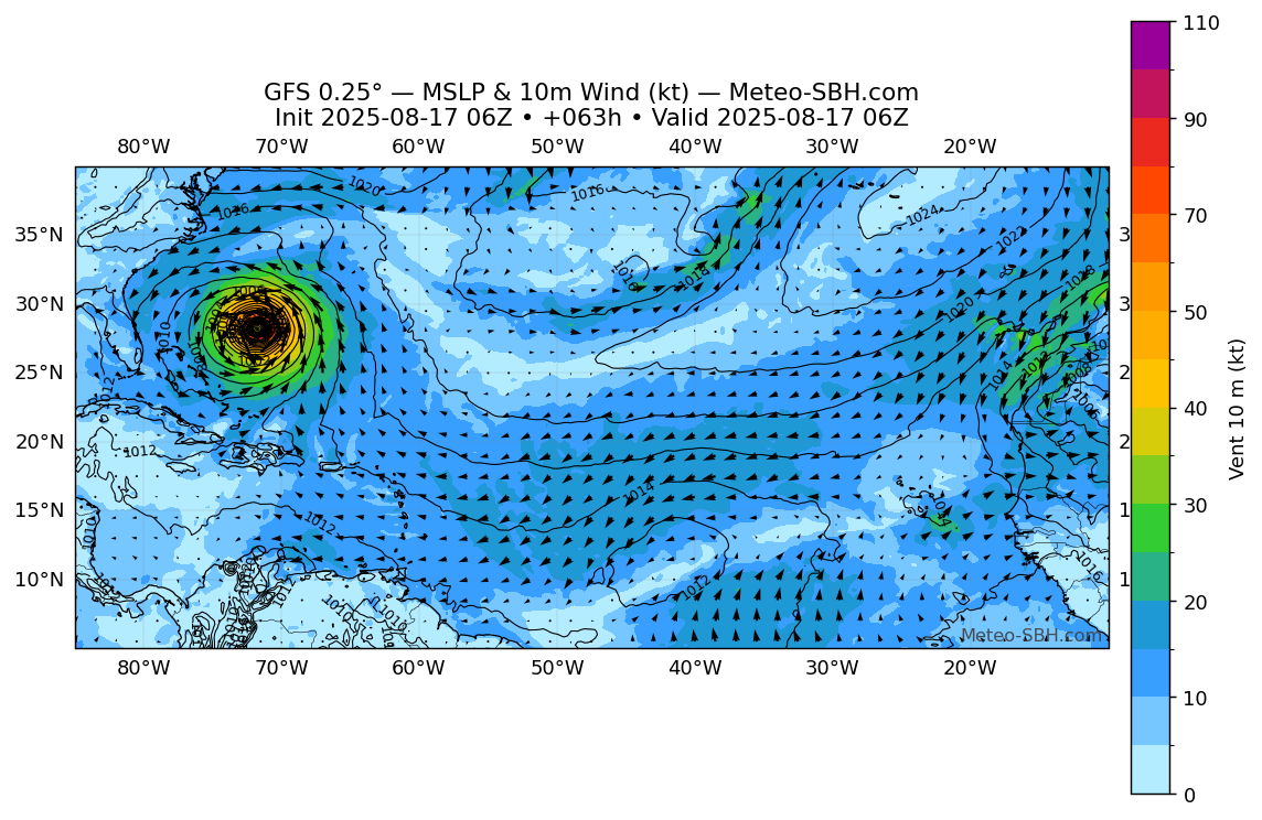
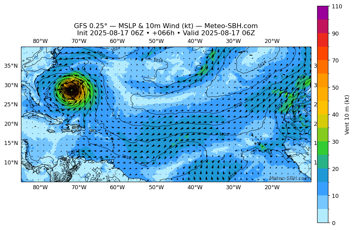
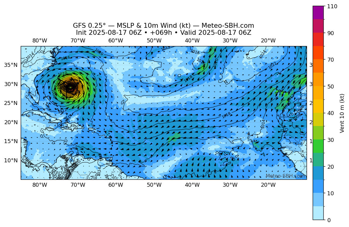
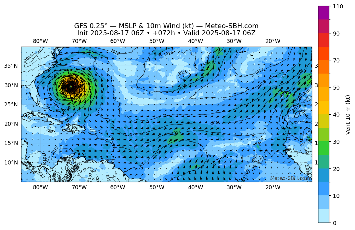
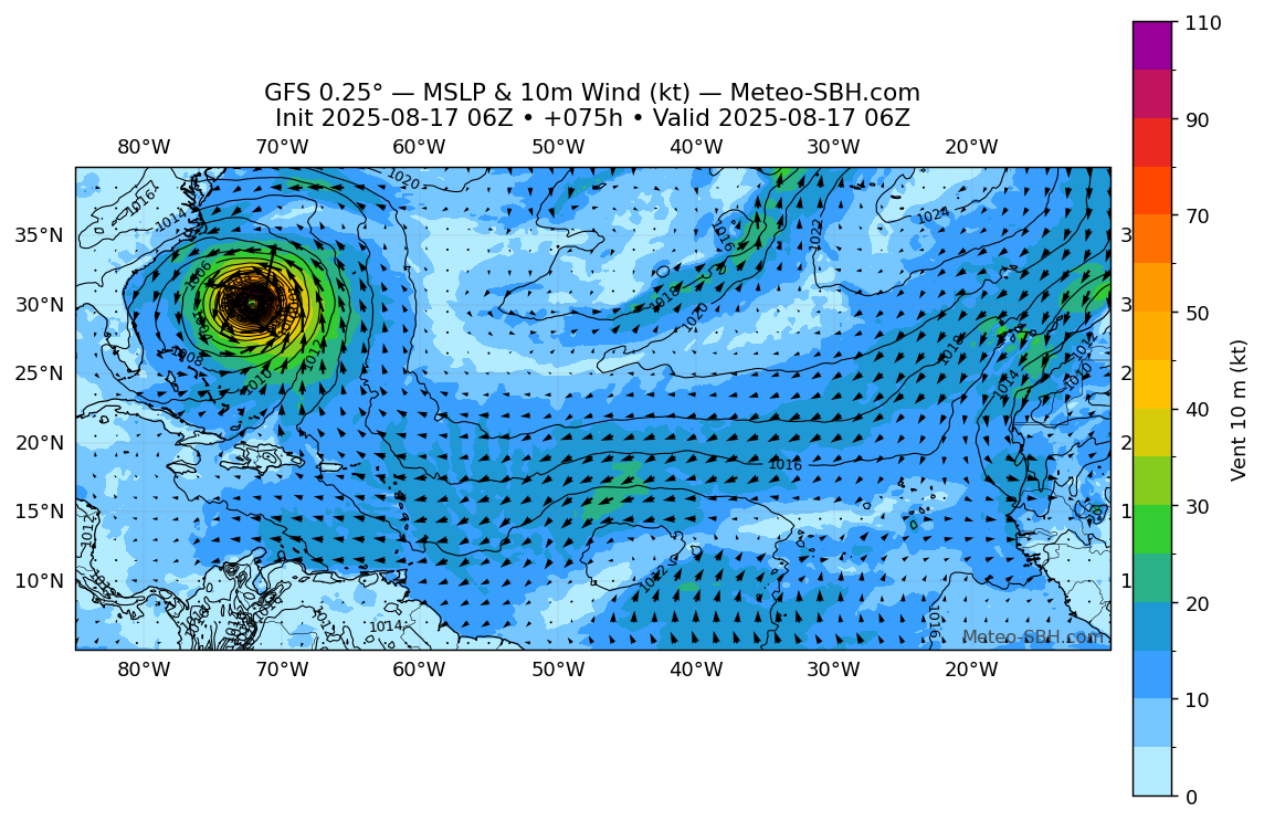
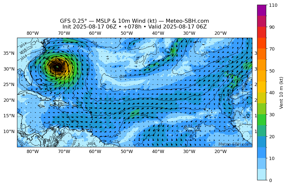
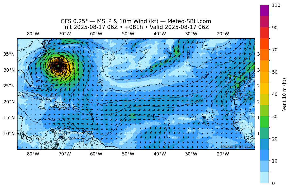
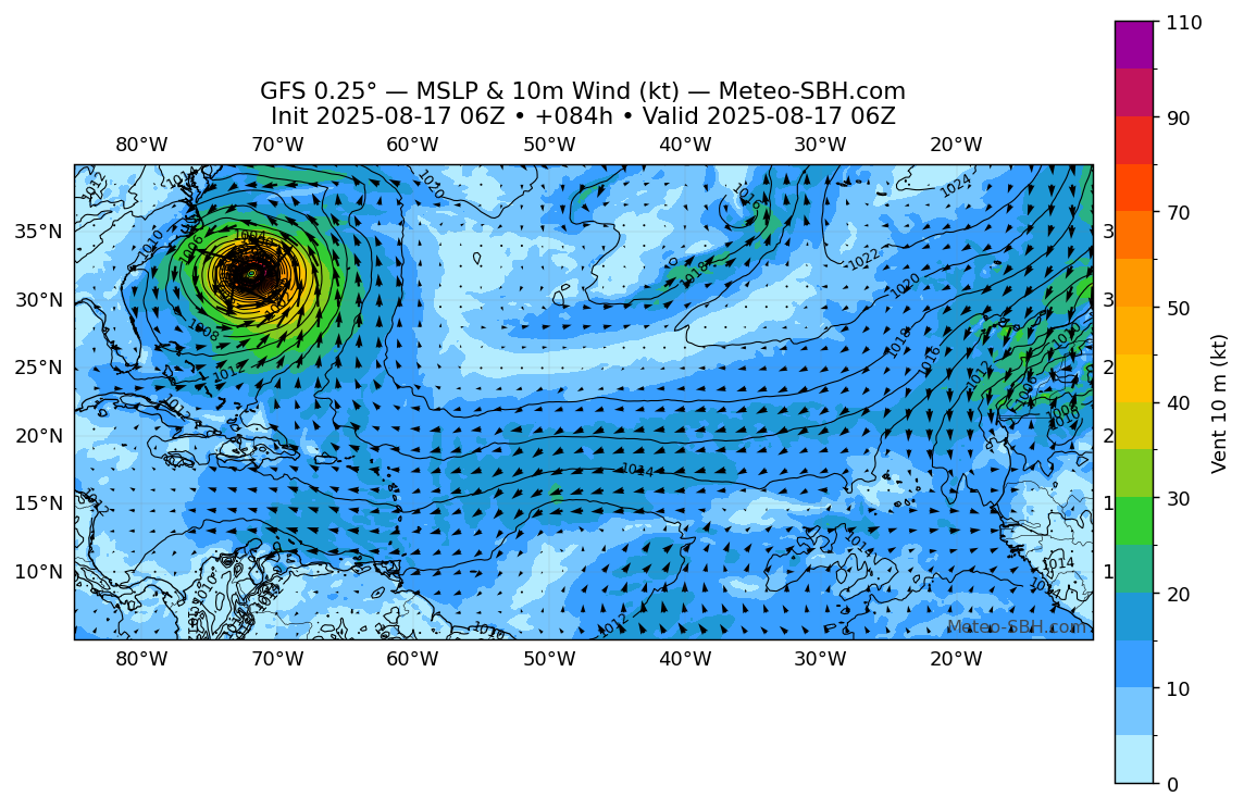
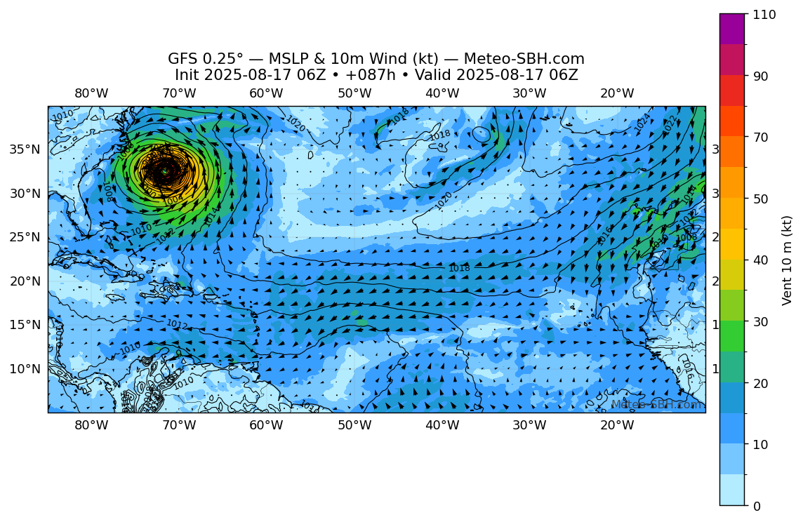
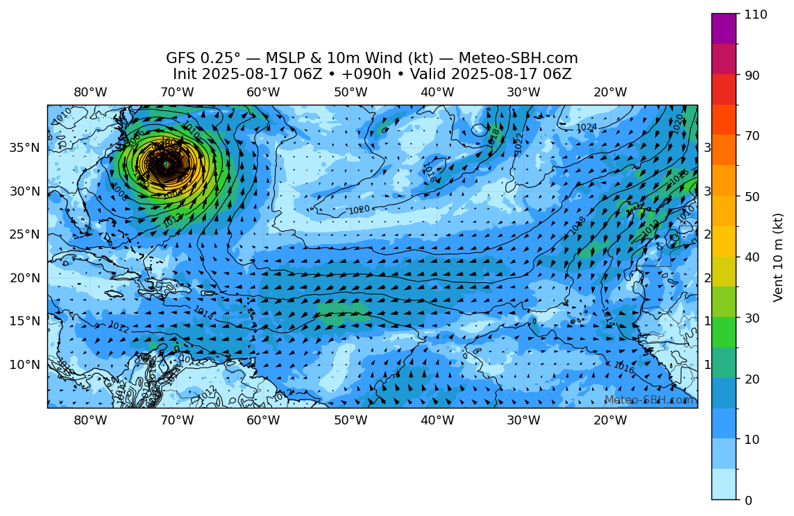
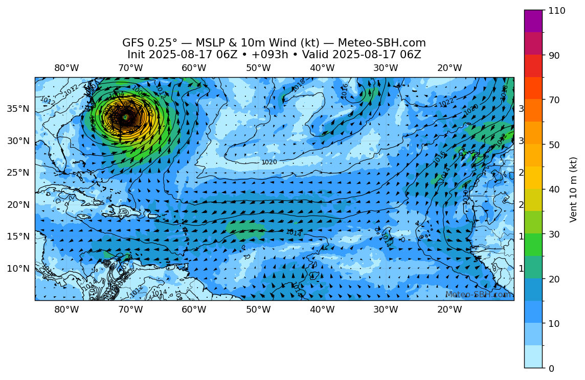
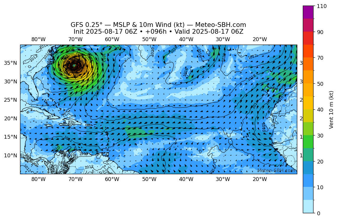
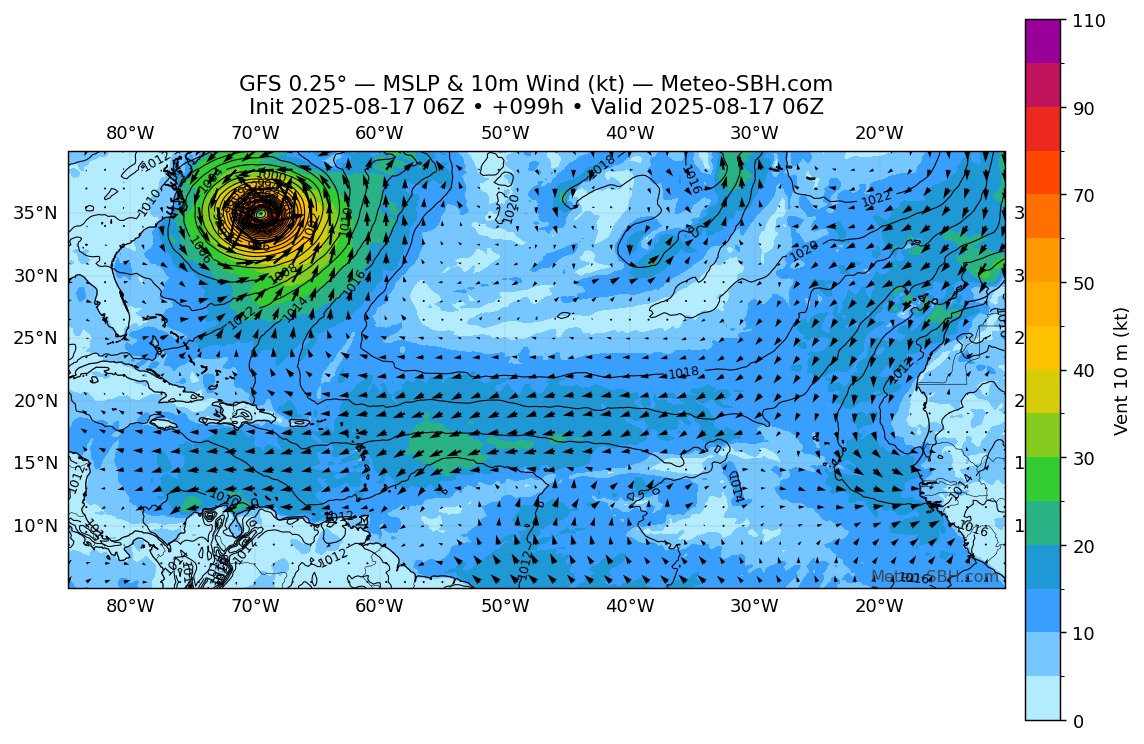
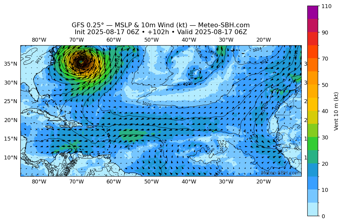
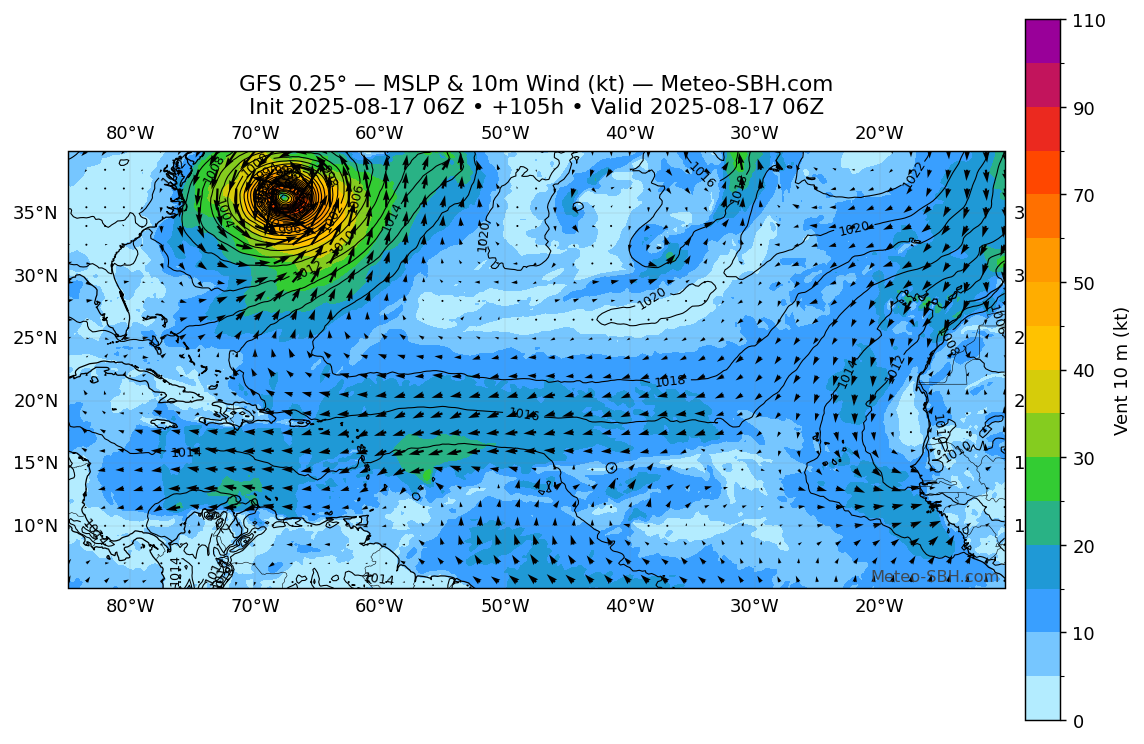
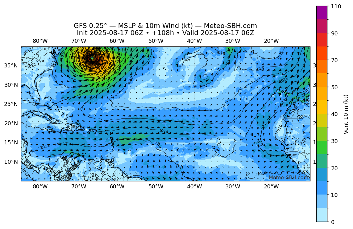
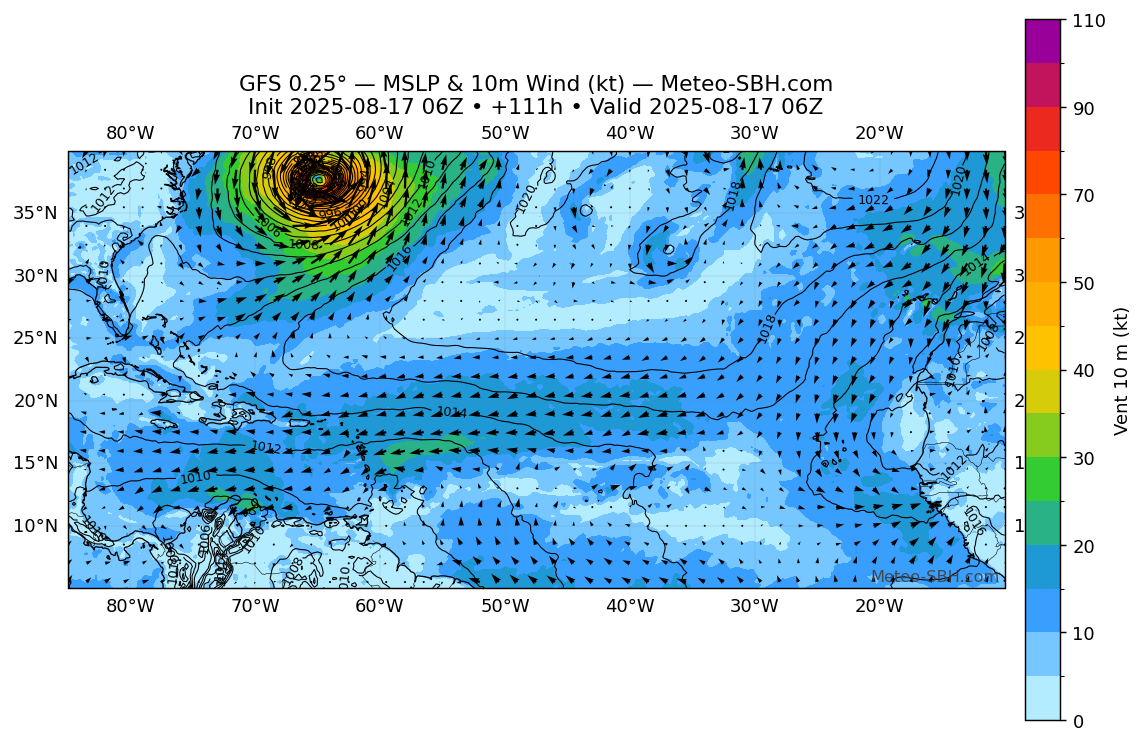
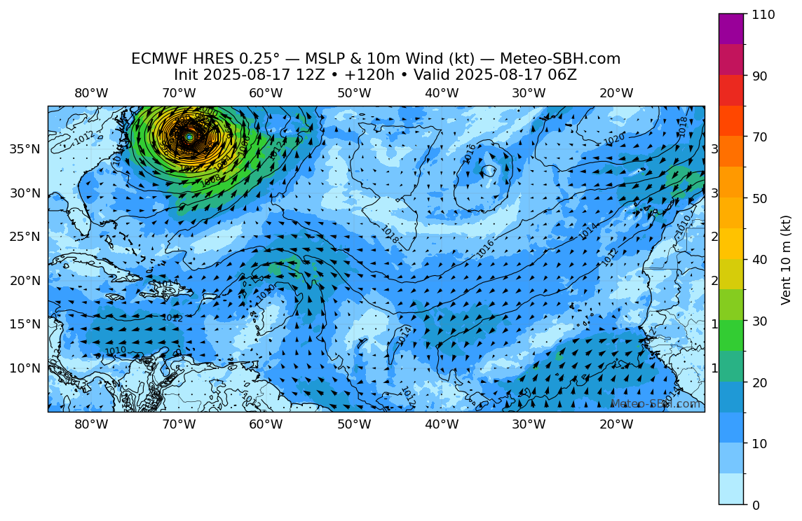
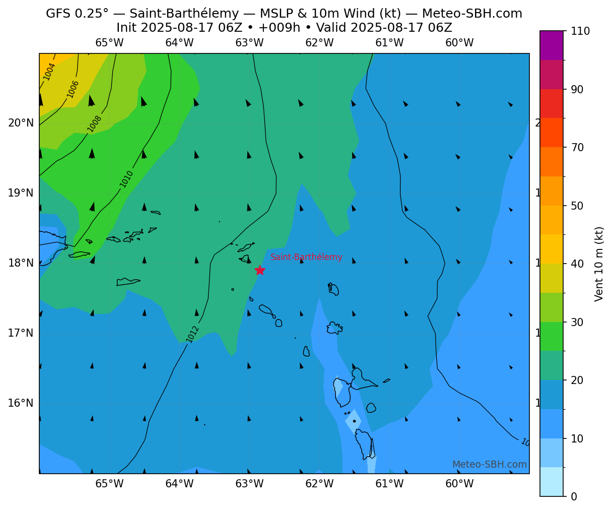
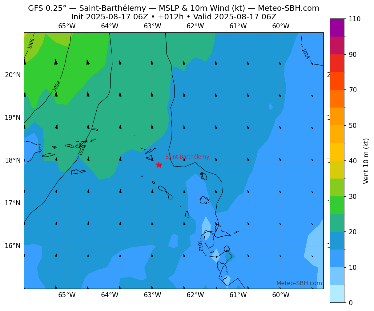
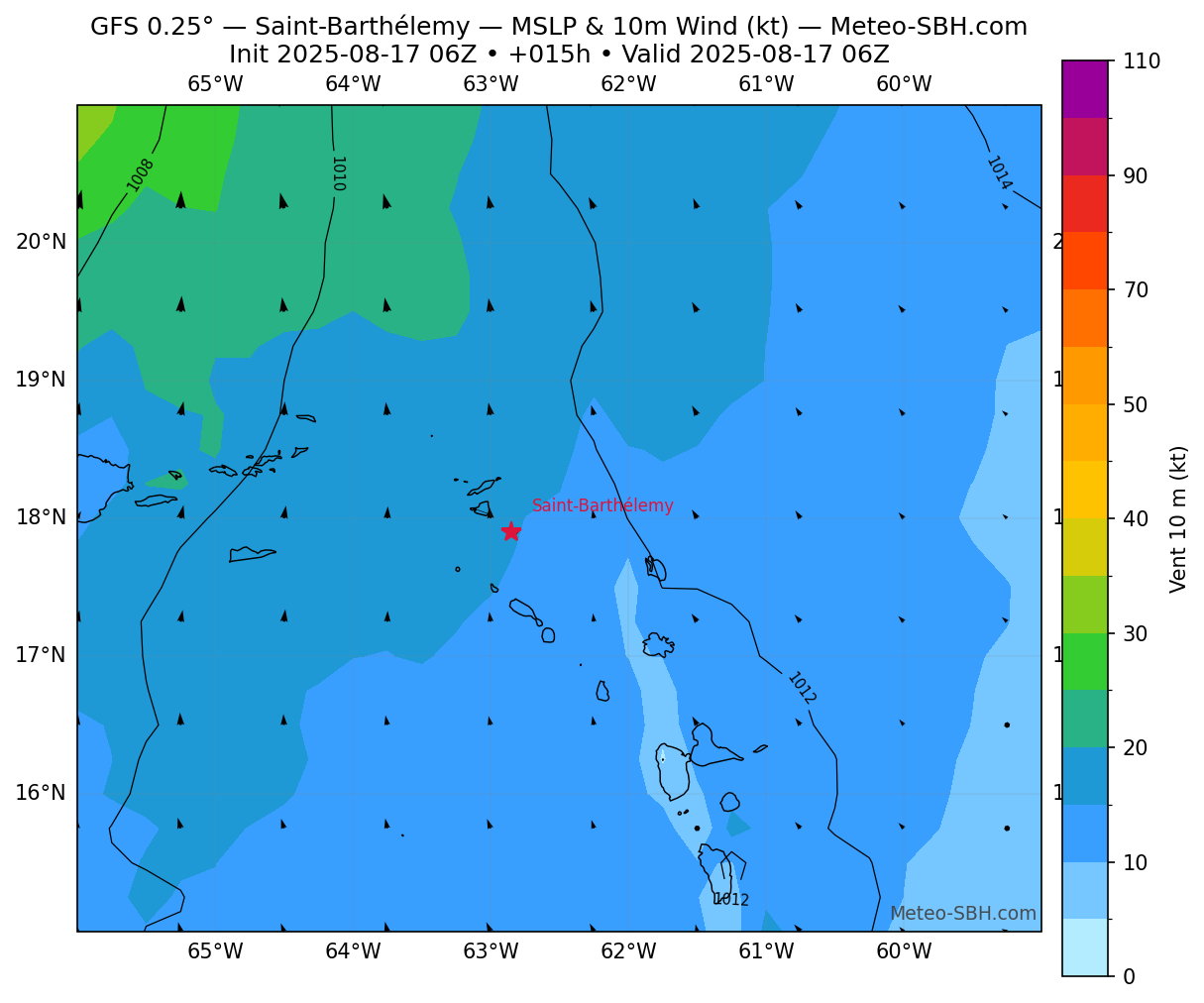
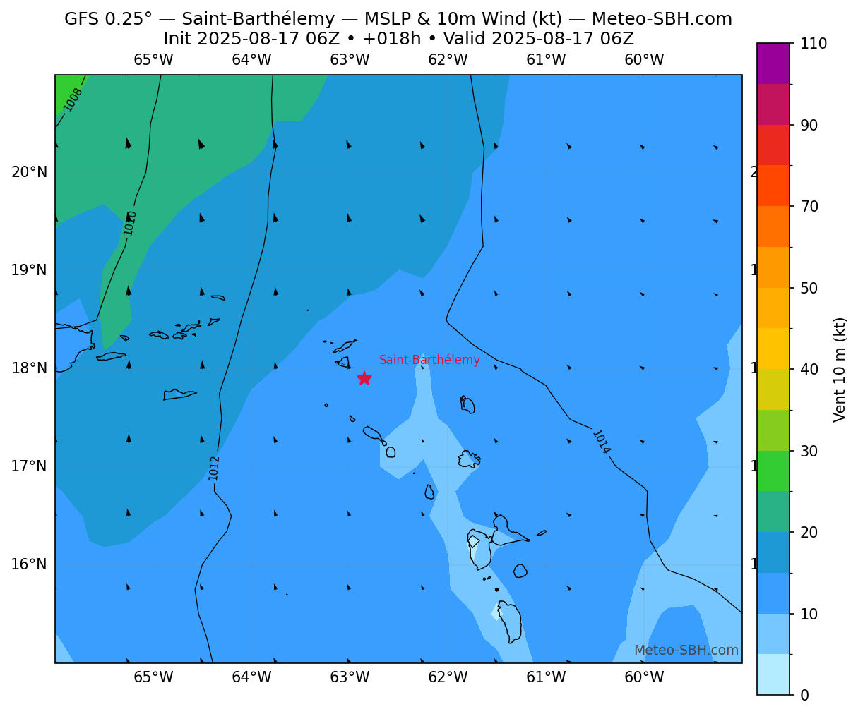
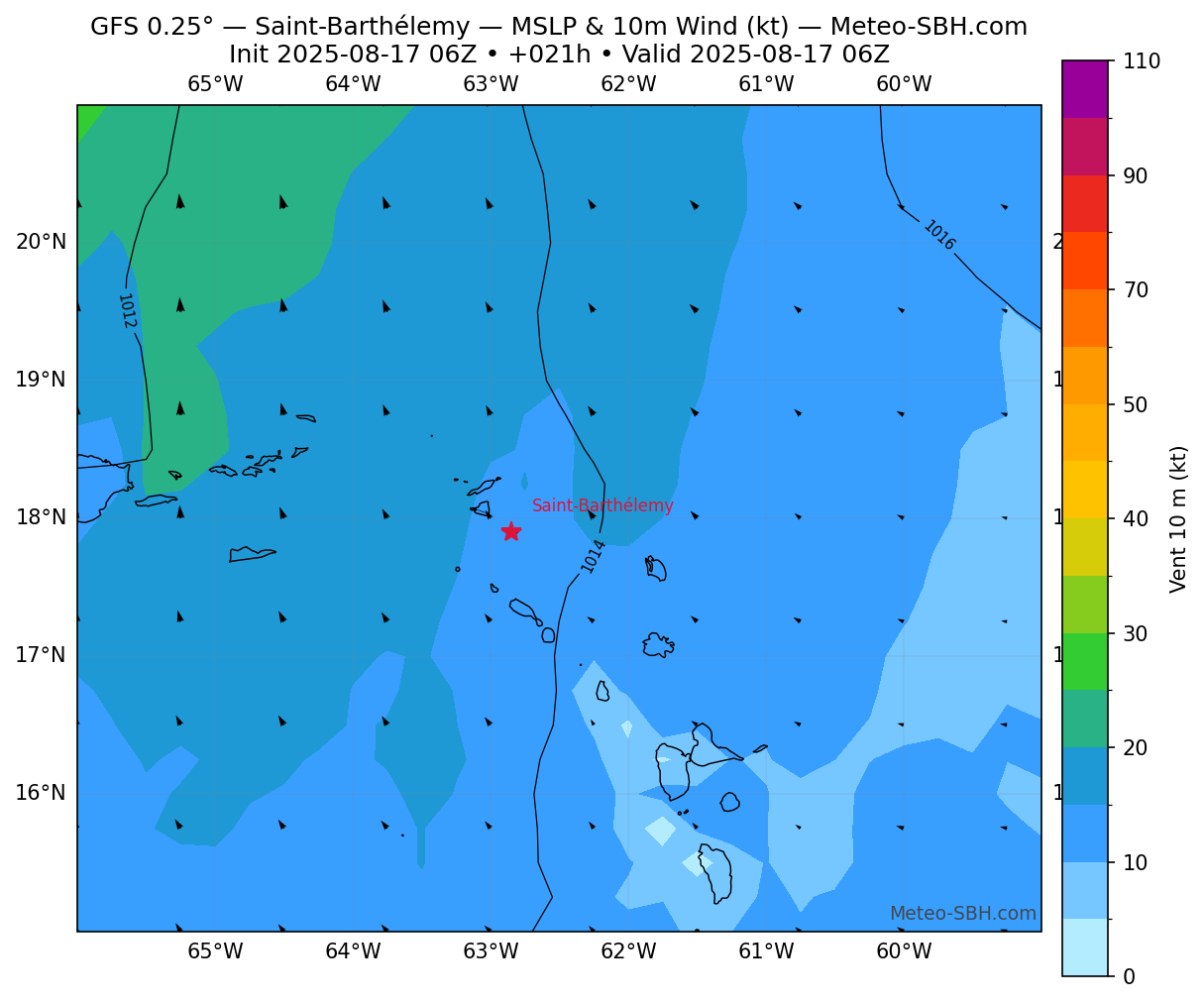
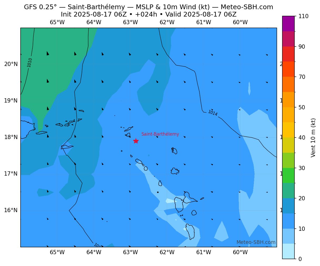
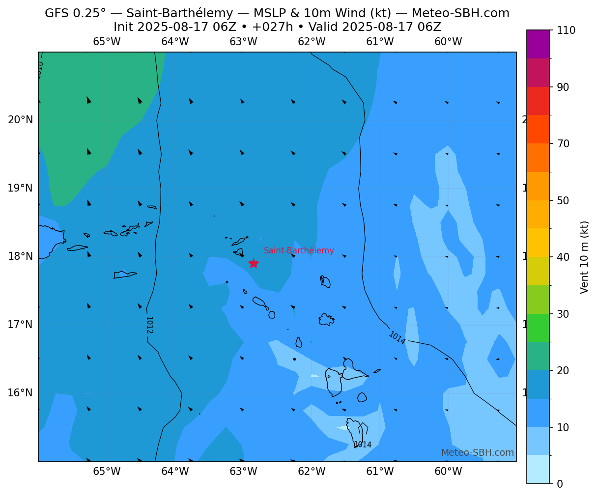
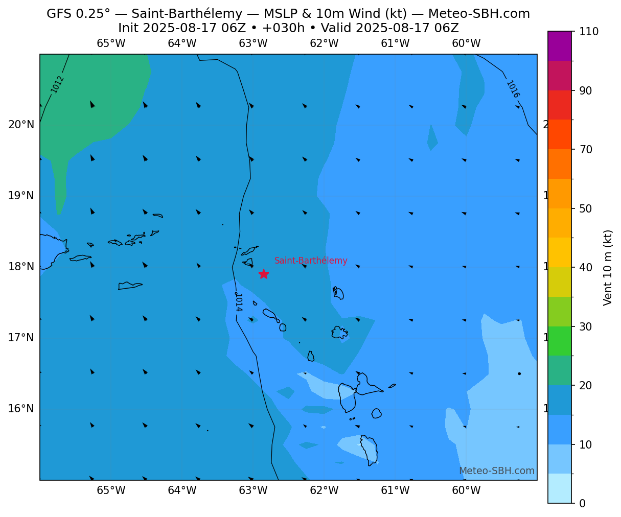
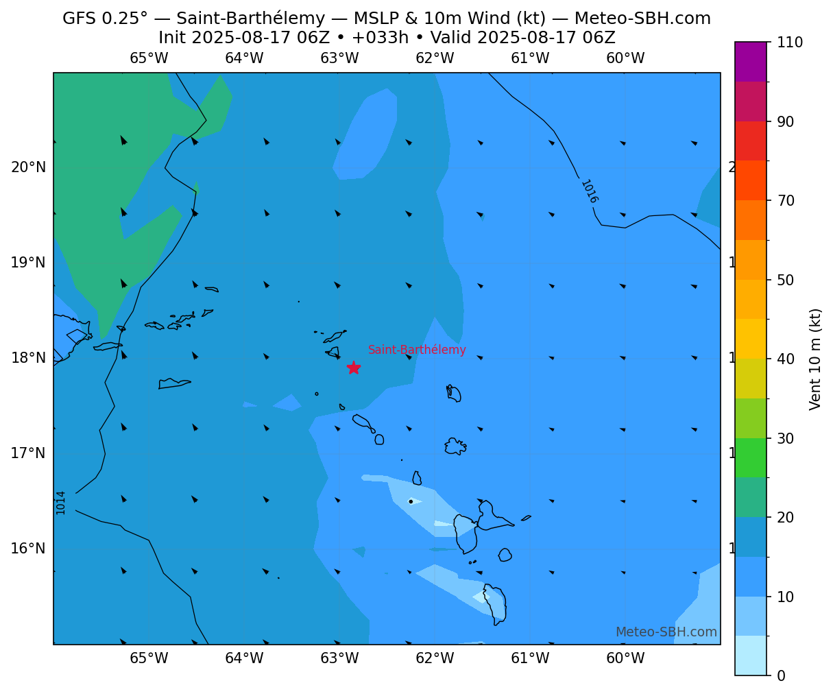
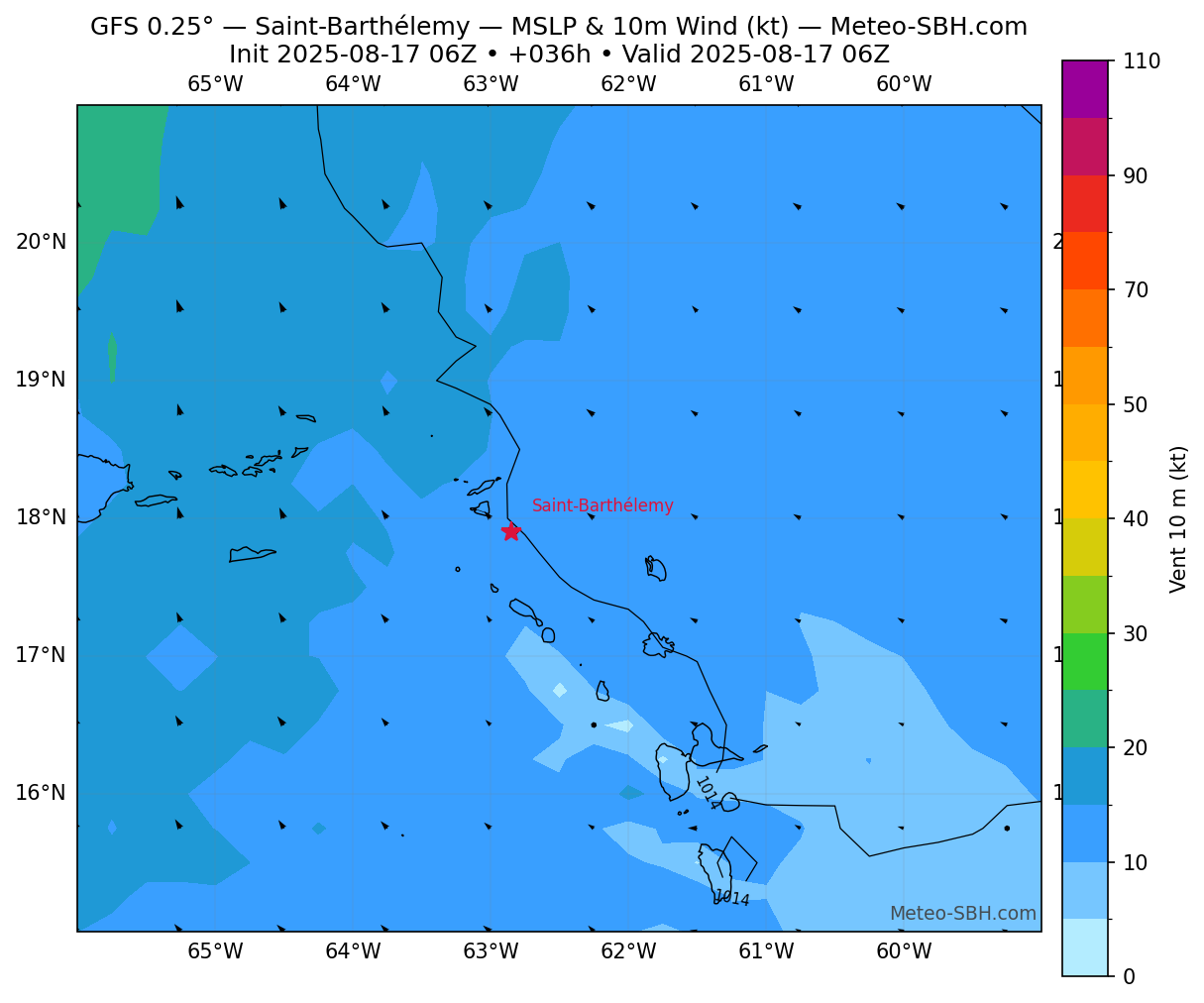
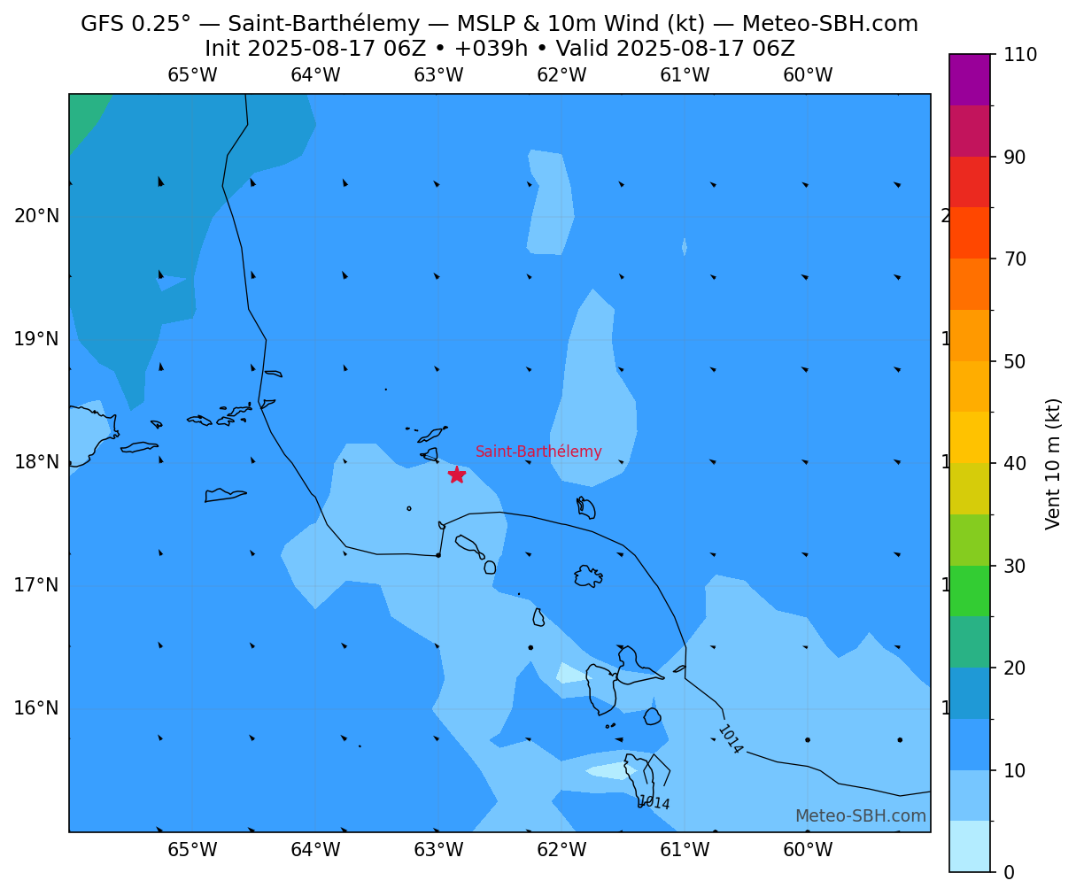
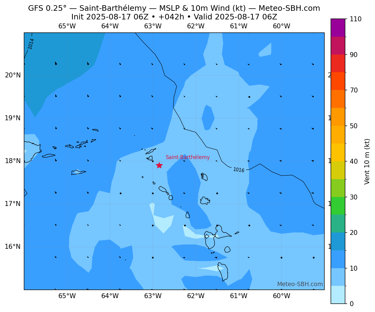
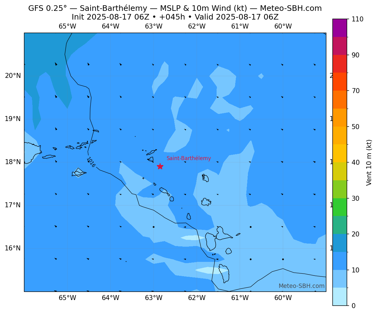
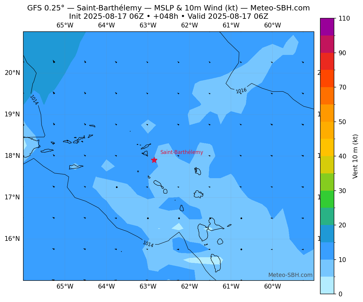
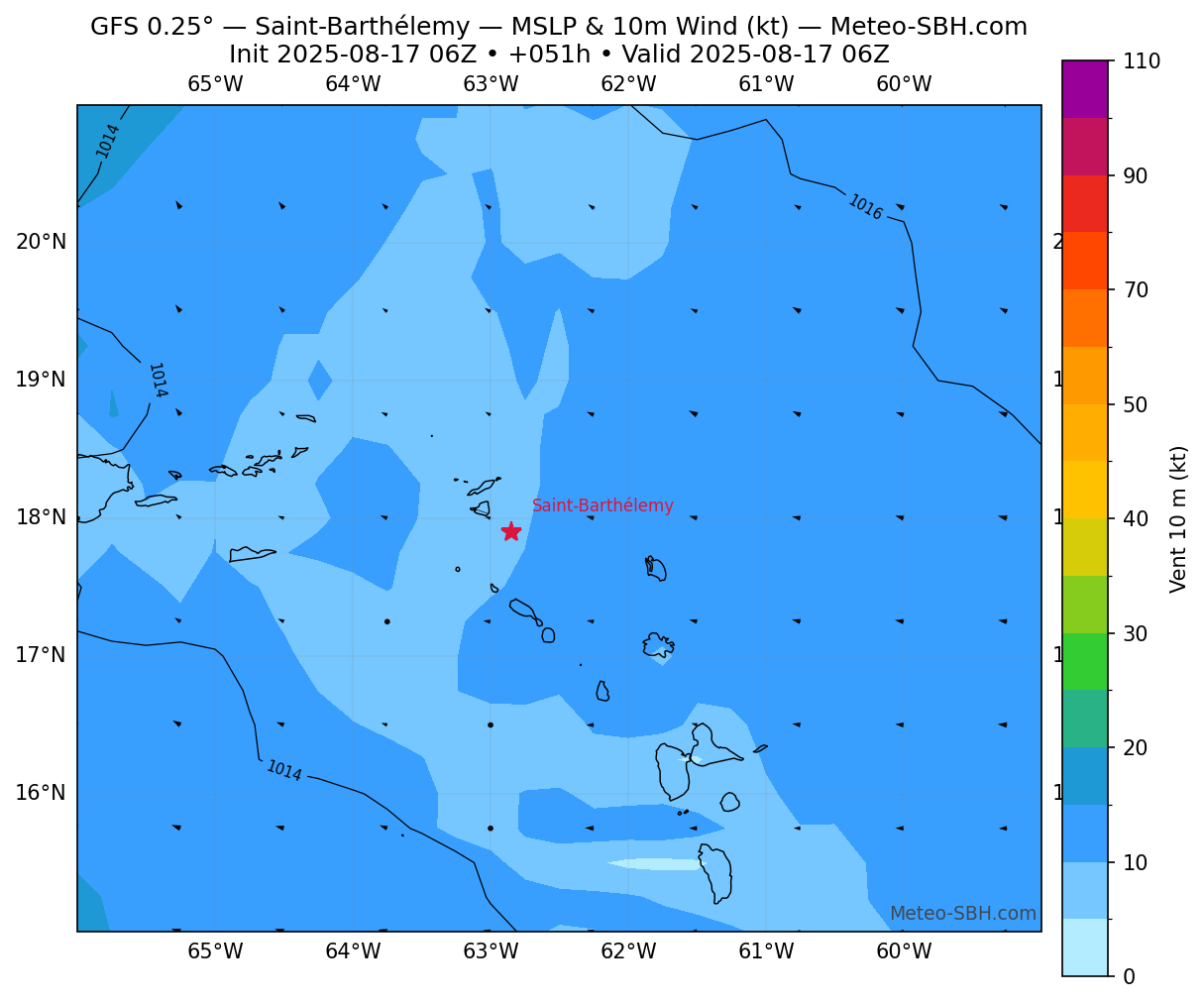
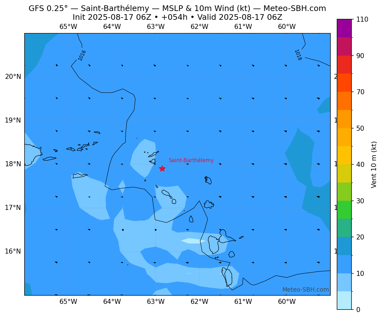
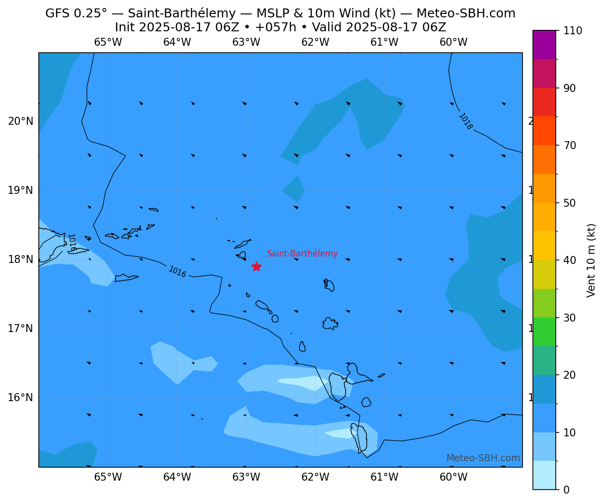
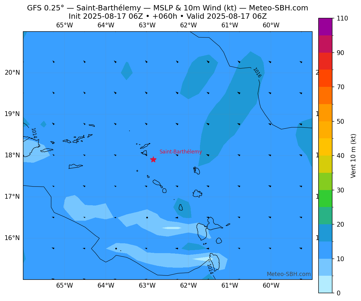
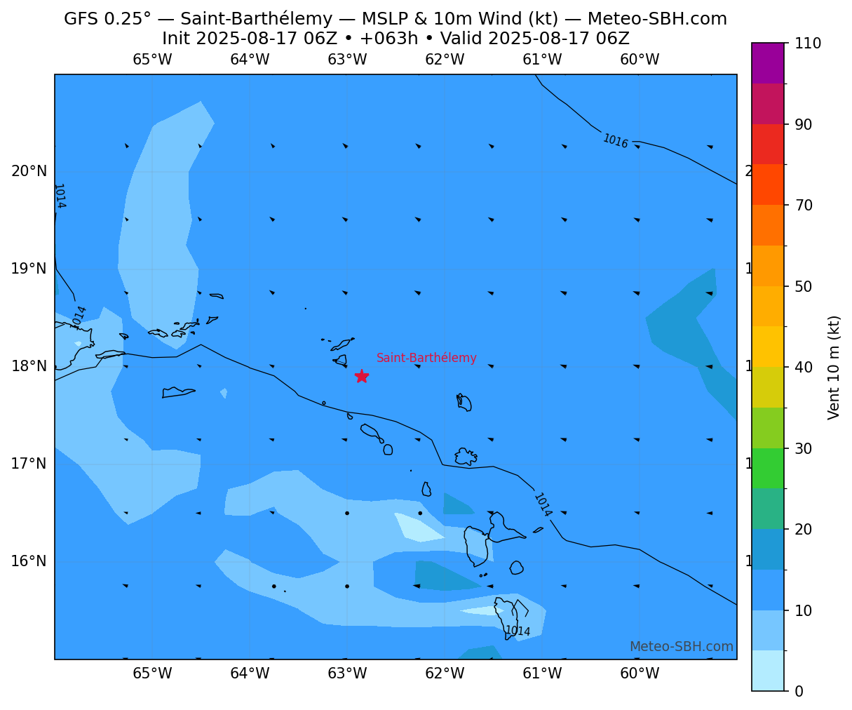
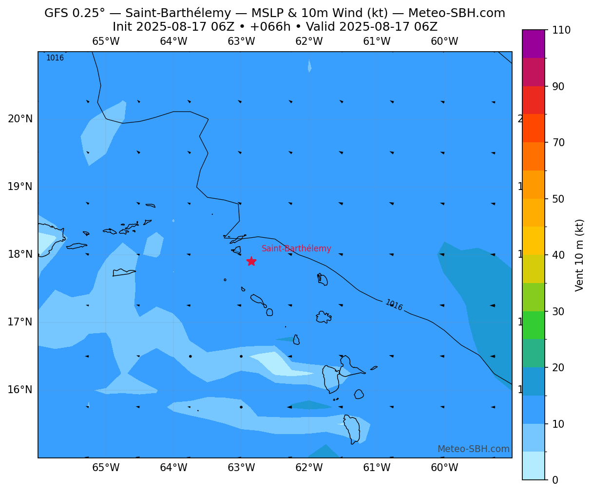
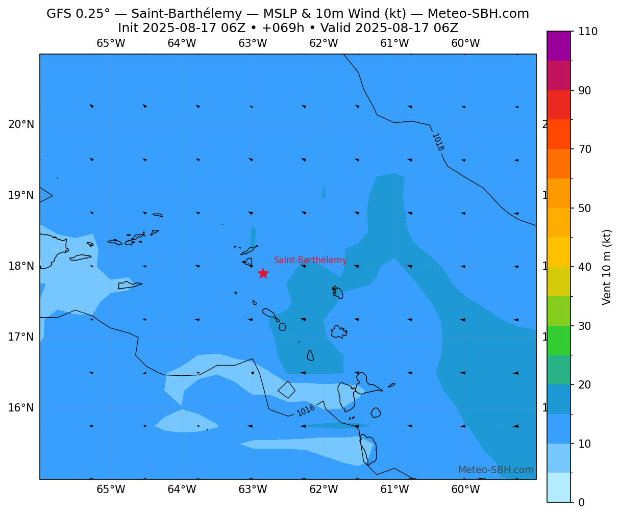
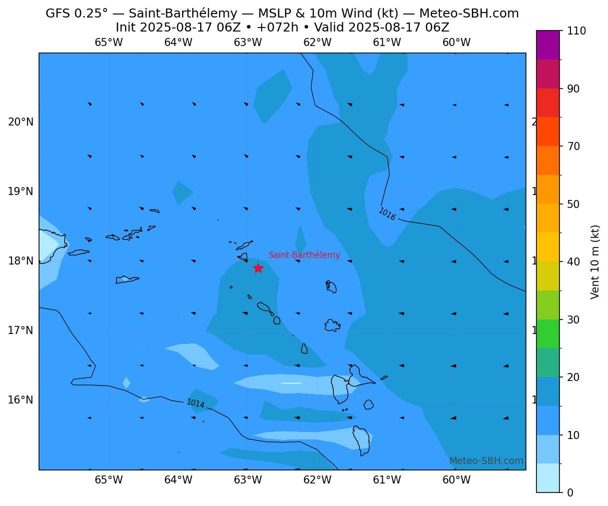
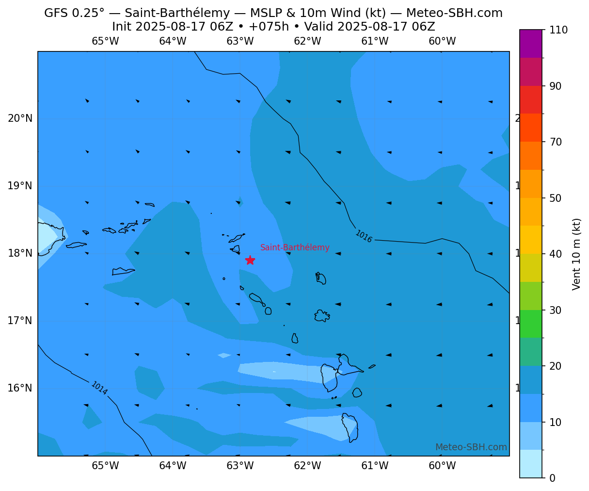
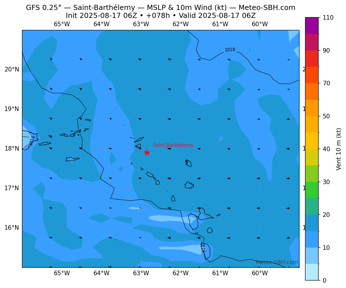
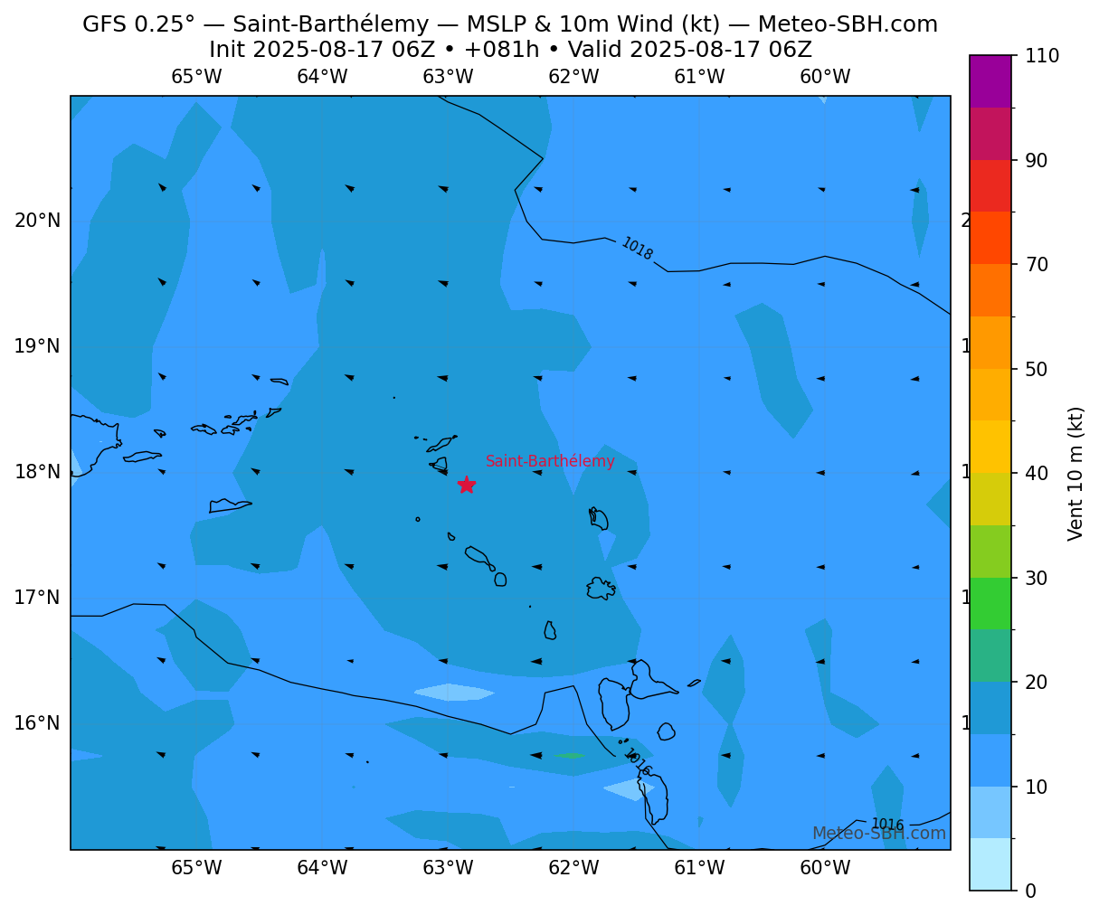
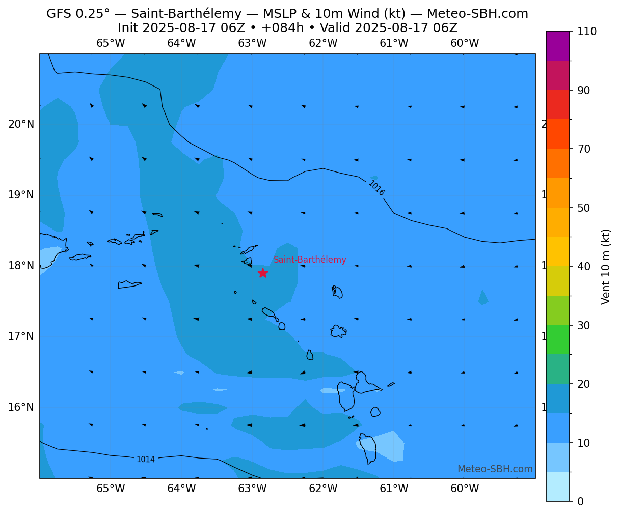
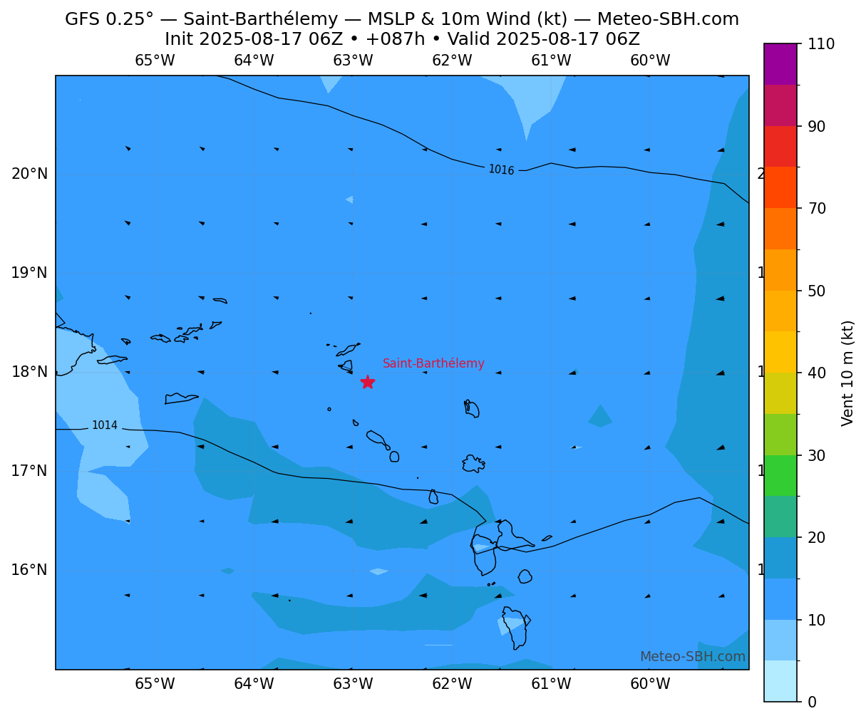
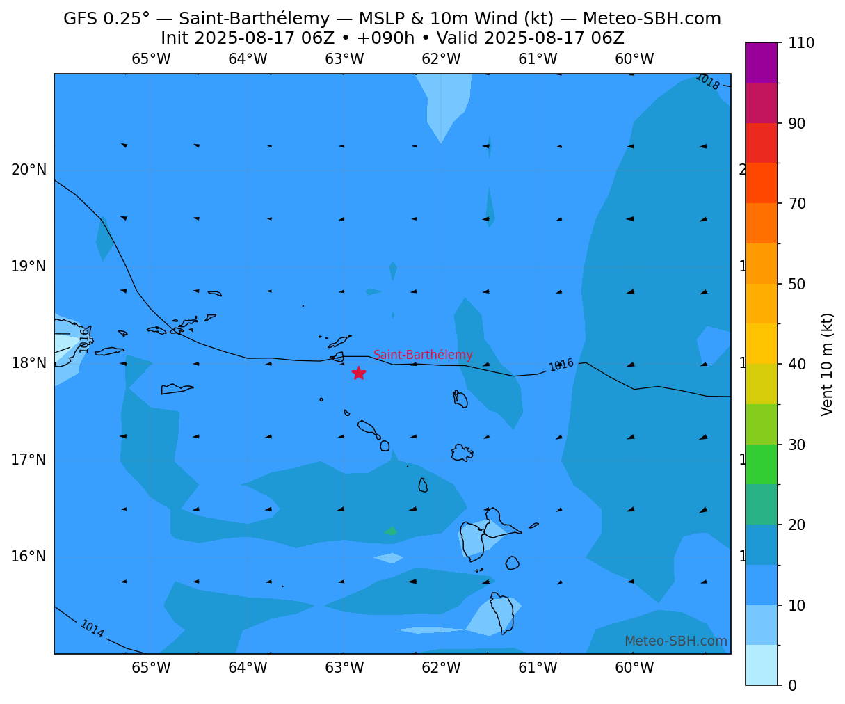
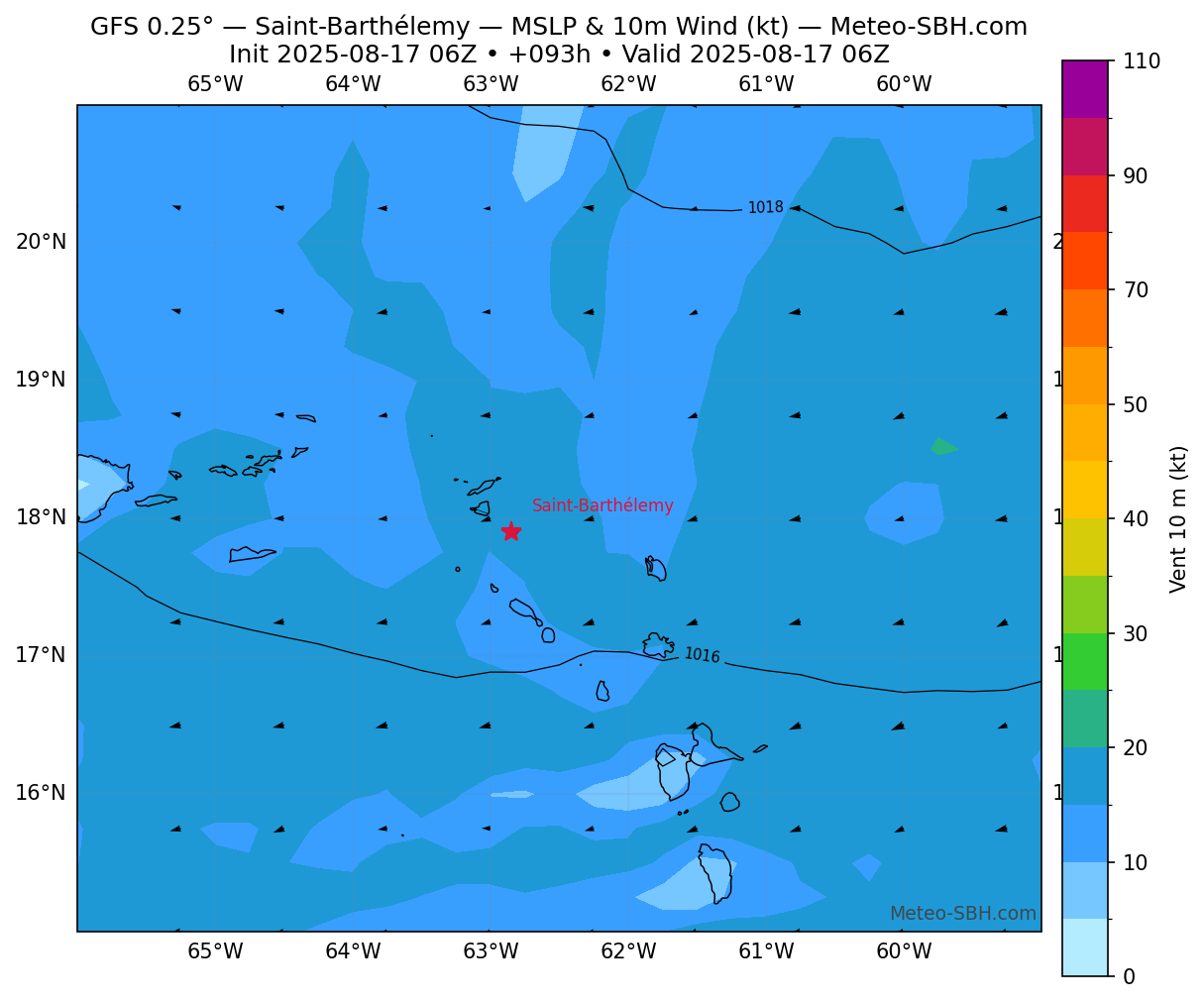
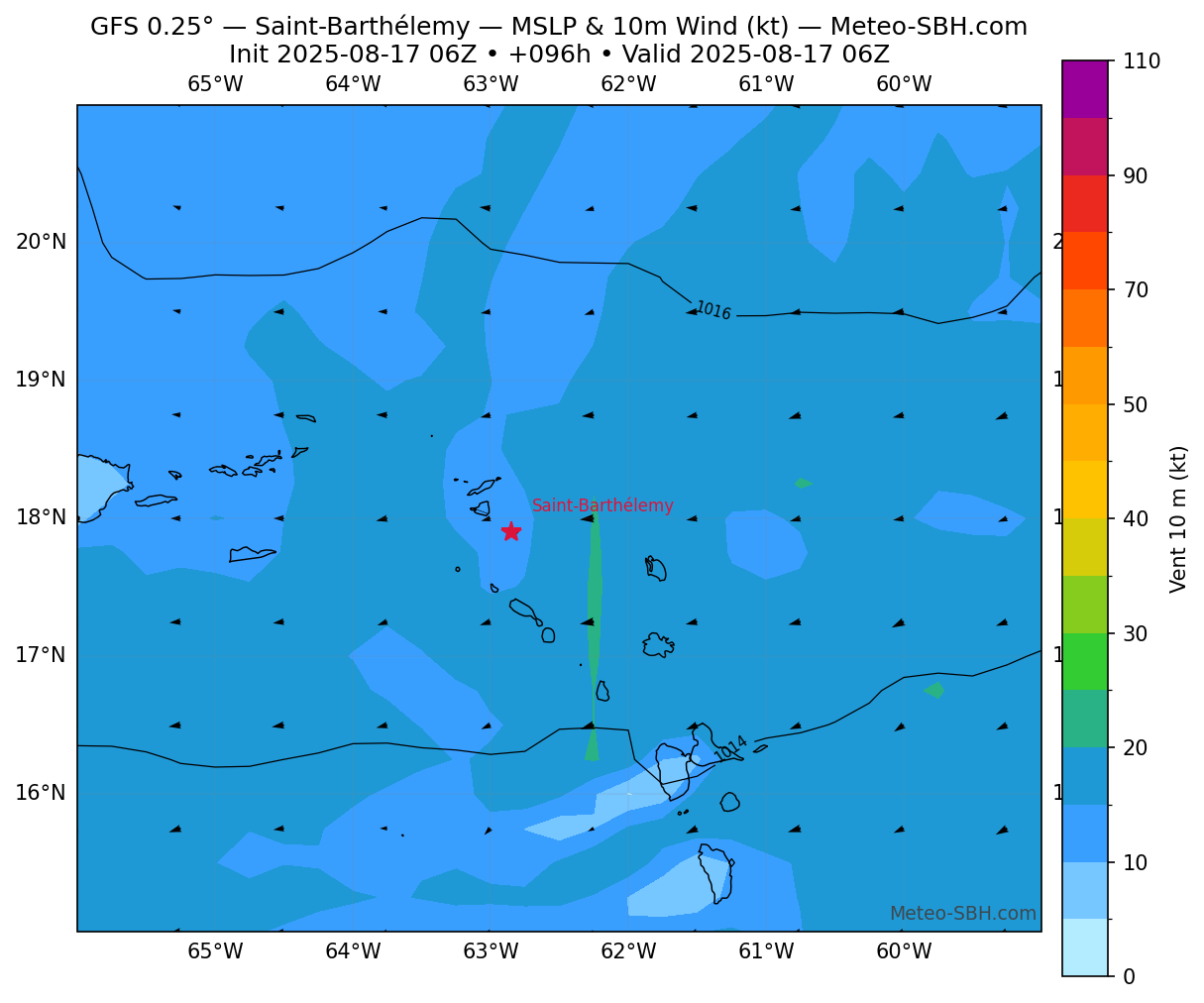
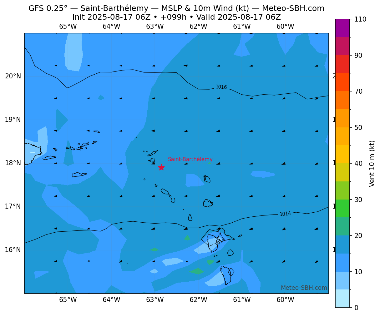
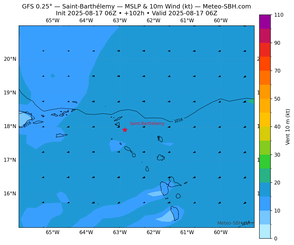
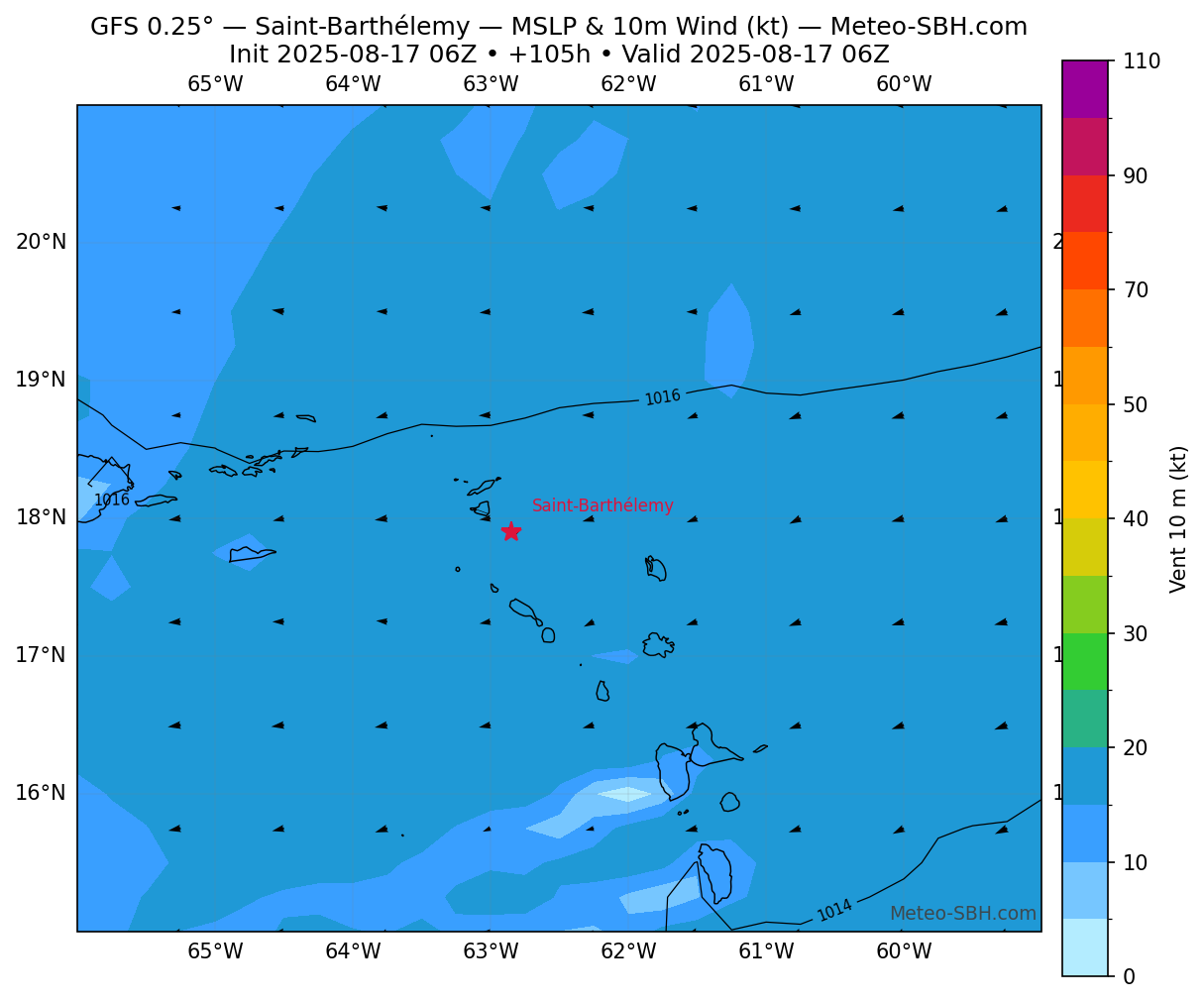
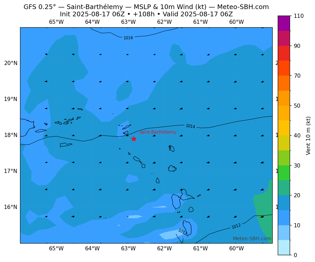
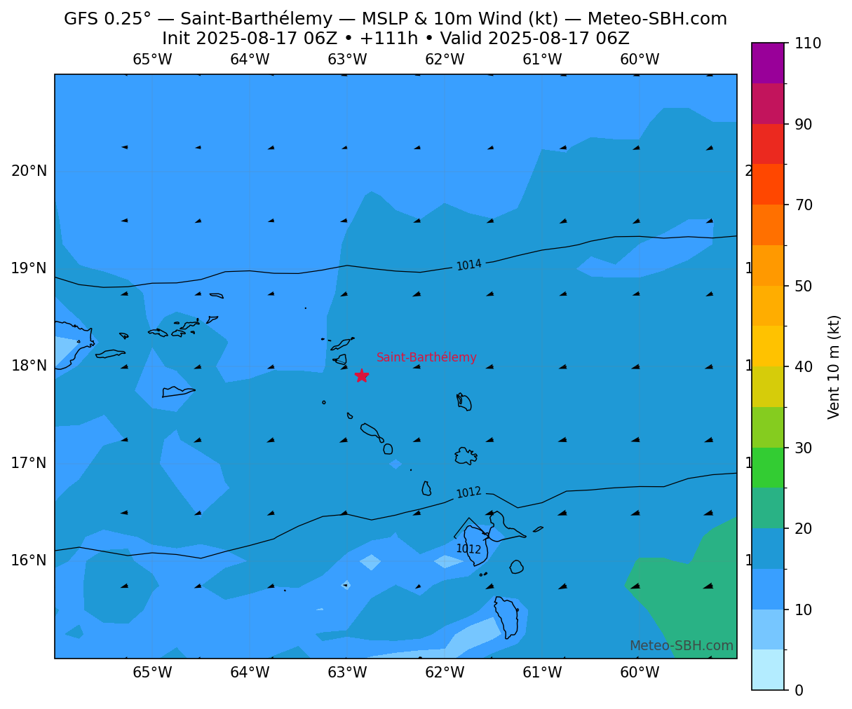
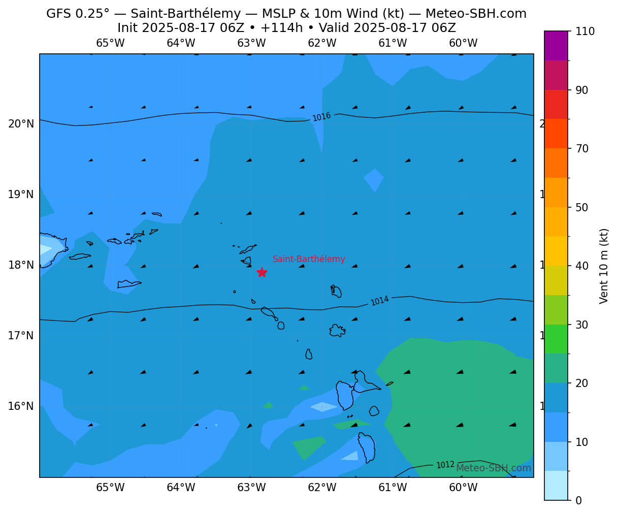
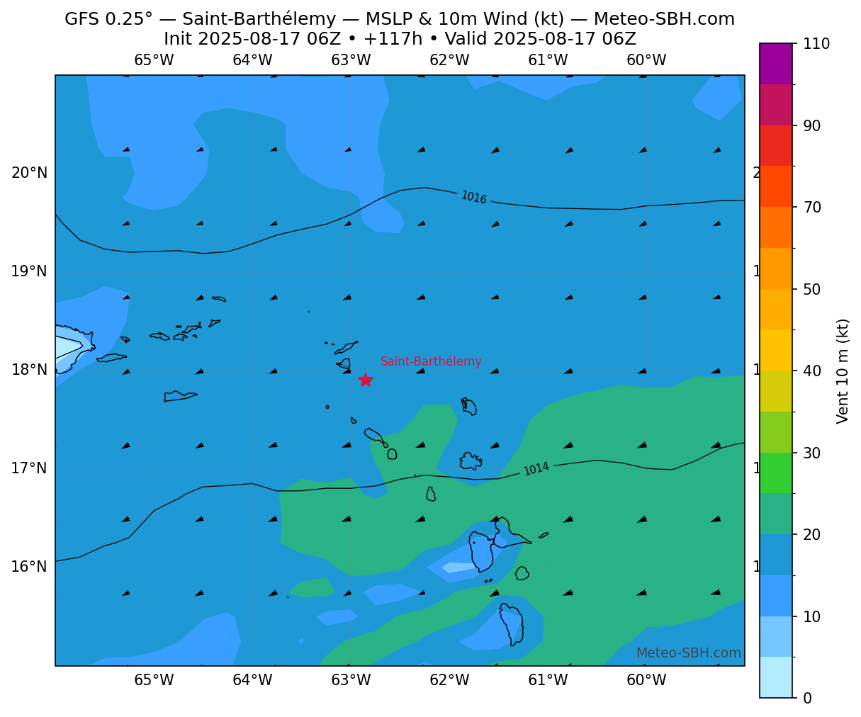
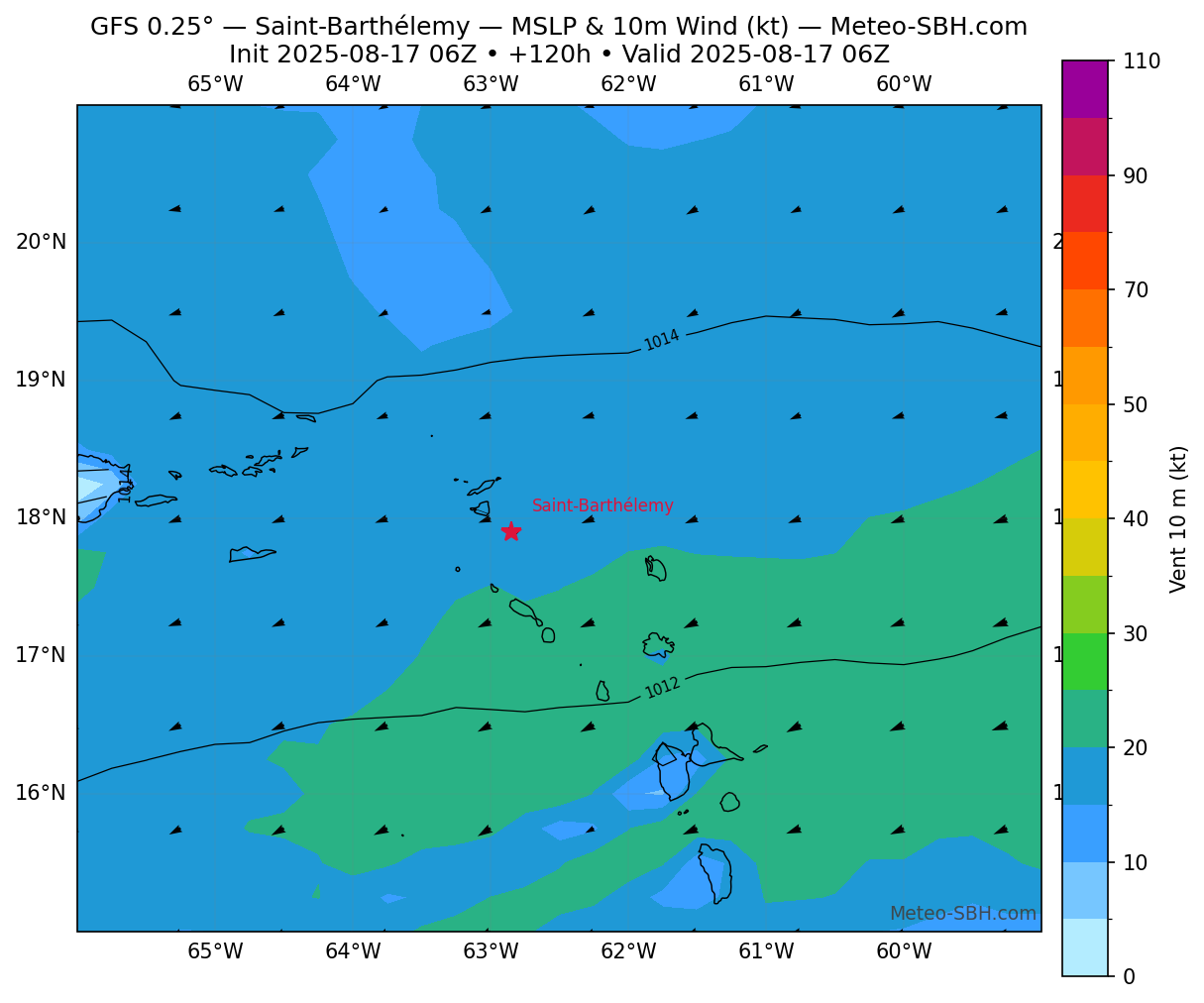
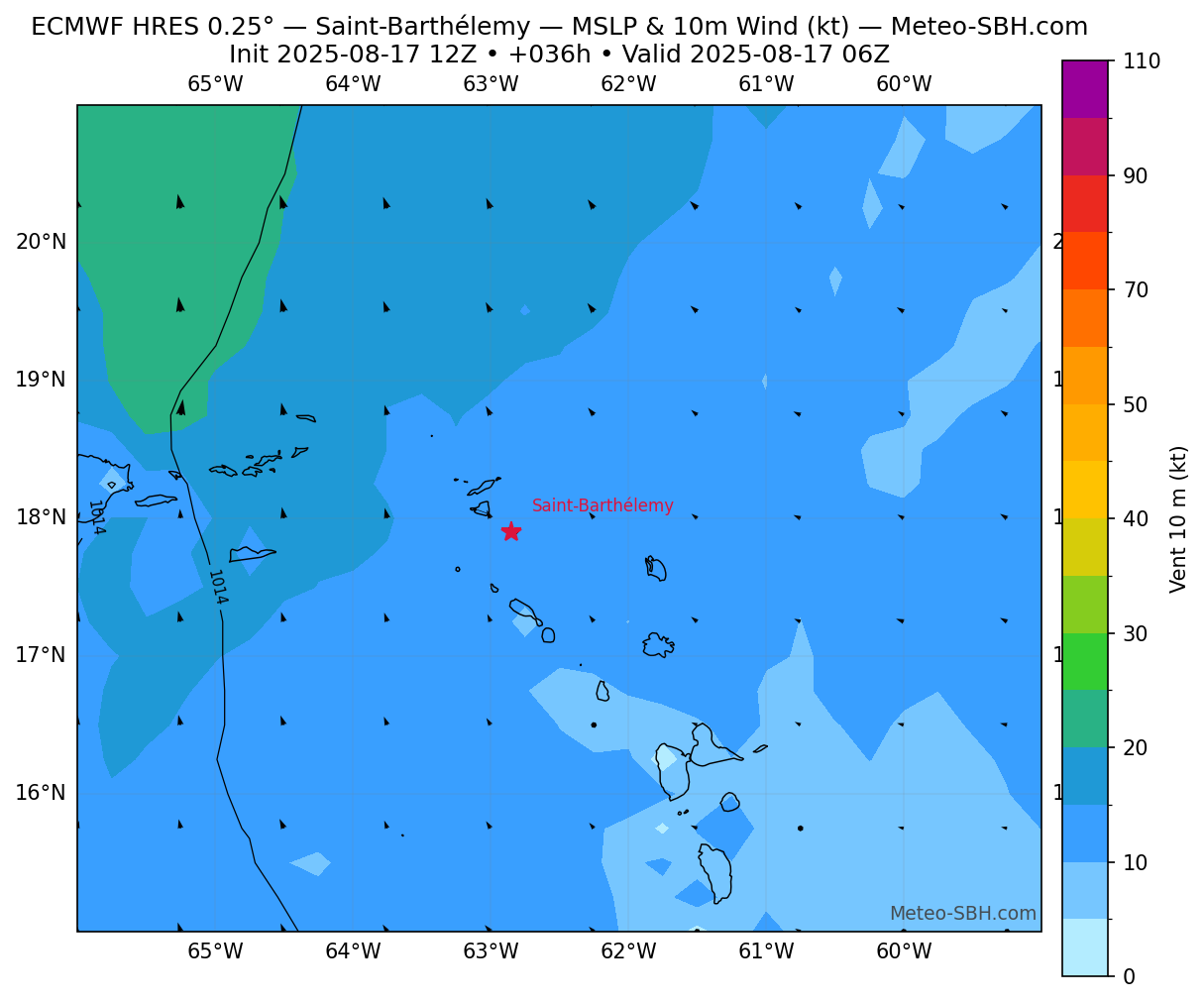
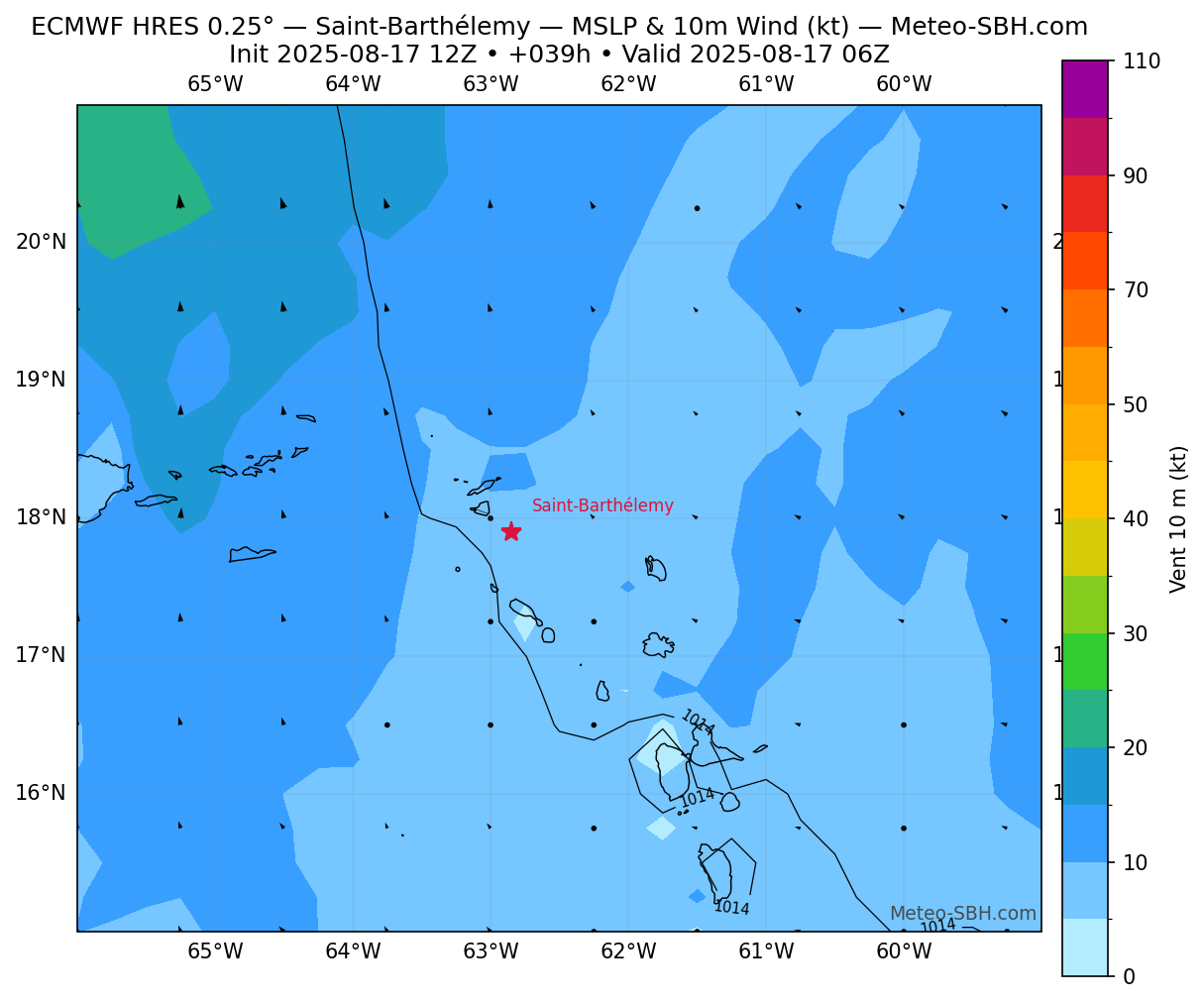
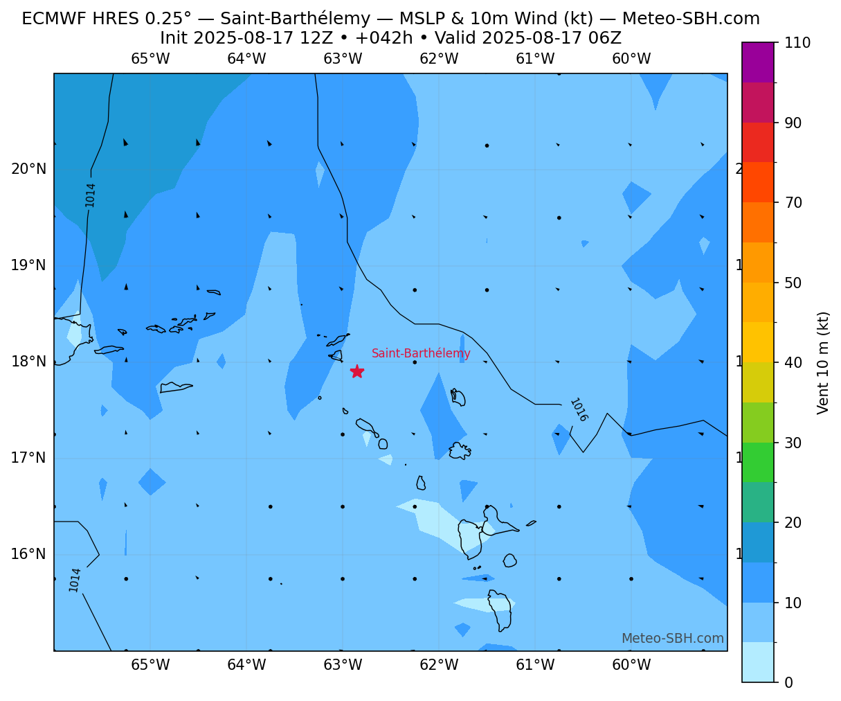
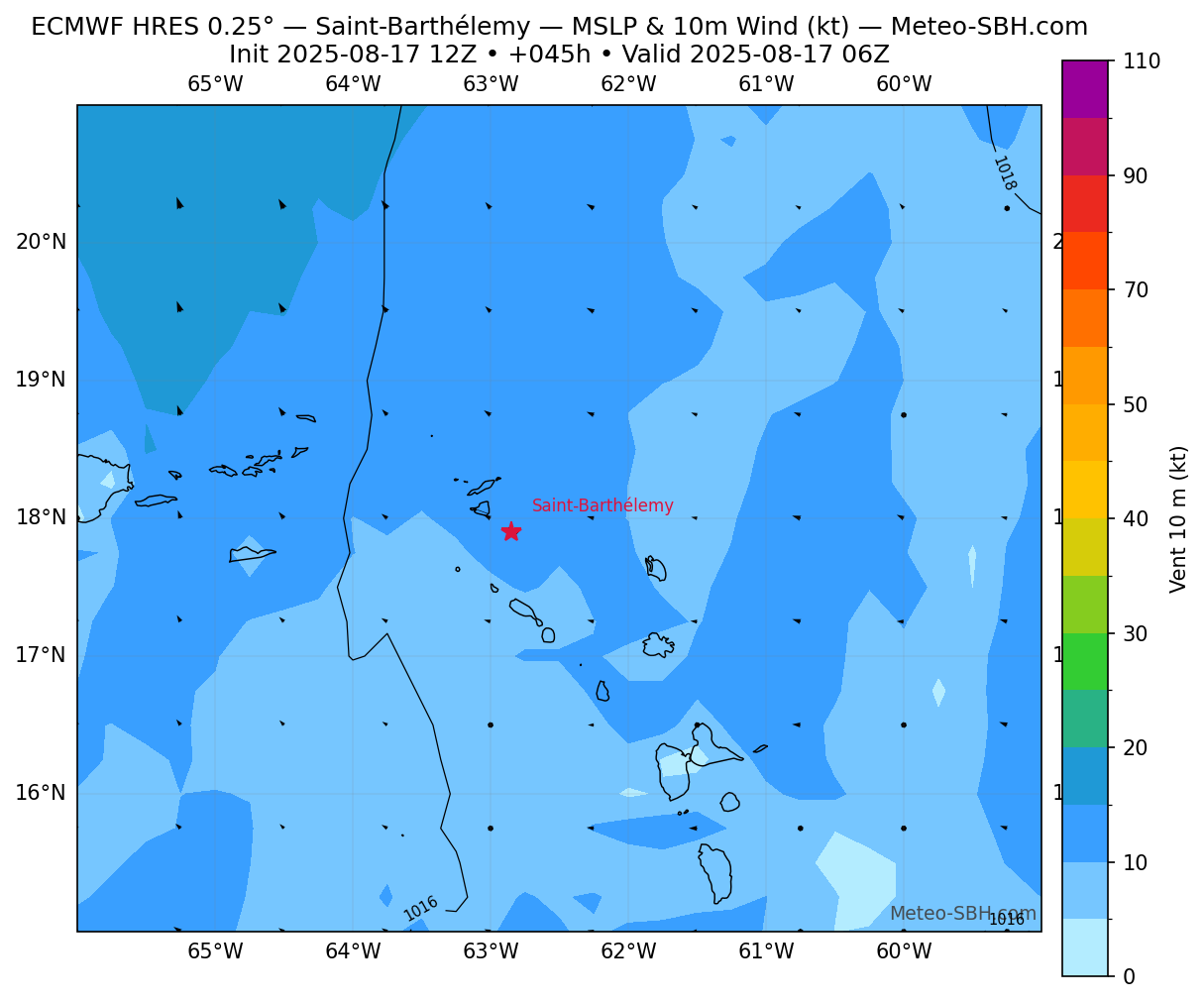
Zones de pression
Trackings
Vent en Surface - Défil. manuel
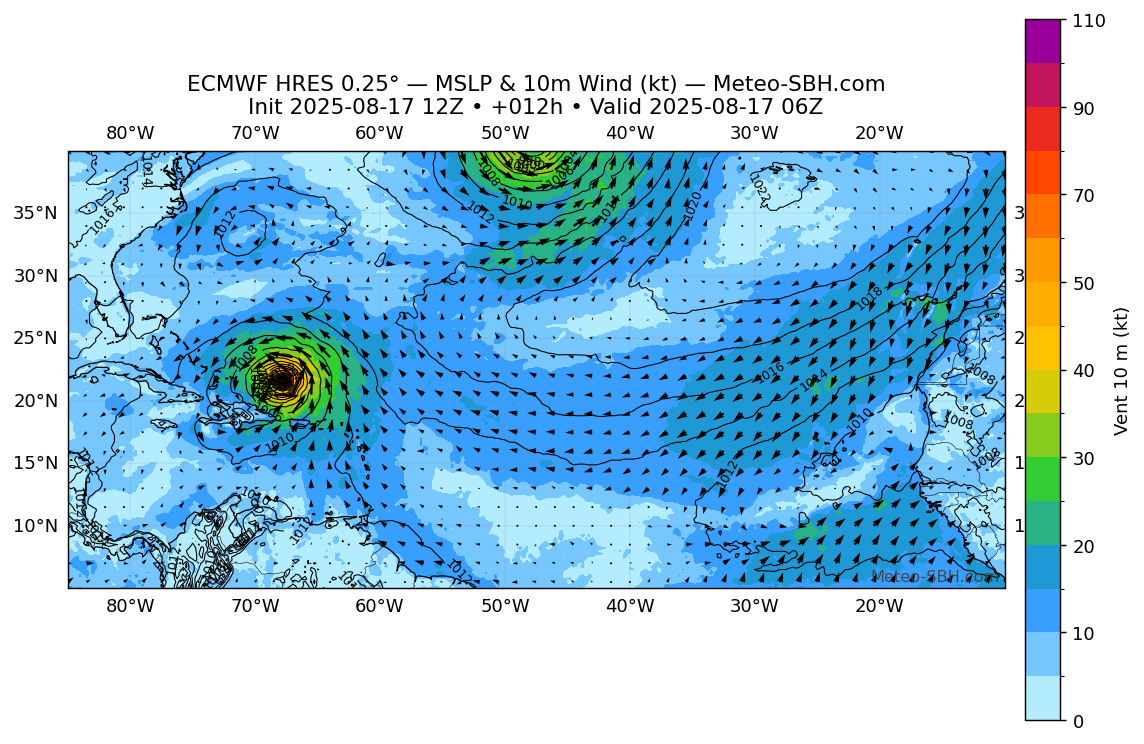
Modèles ECMWF
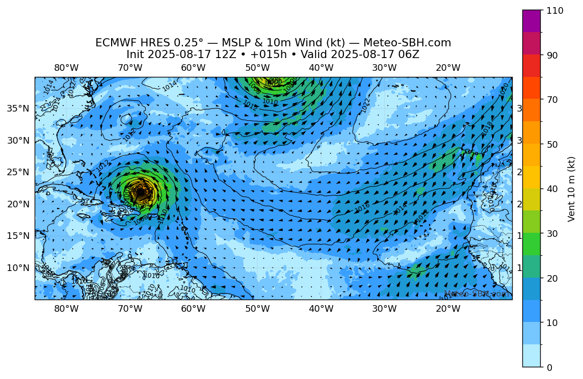
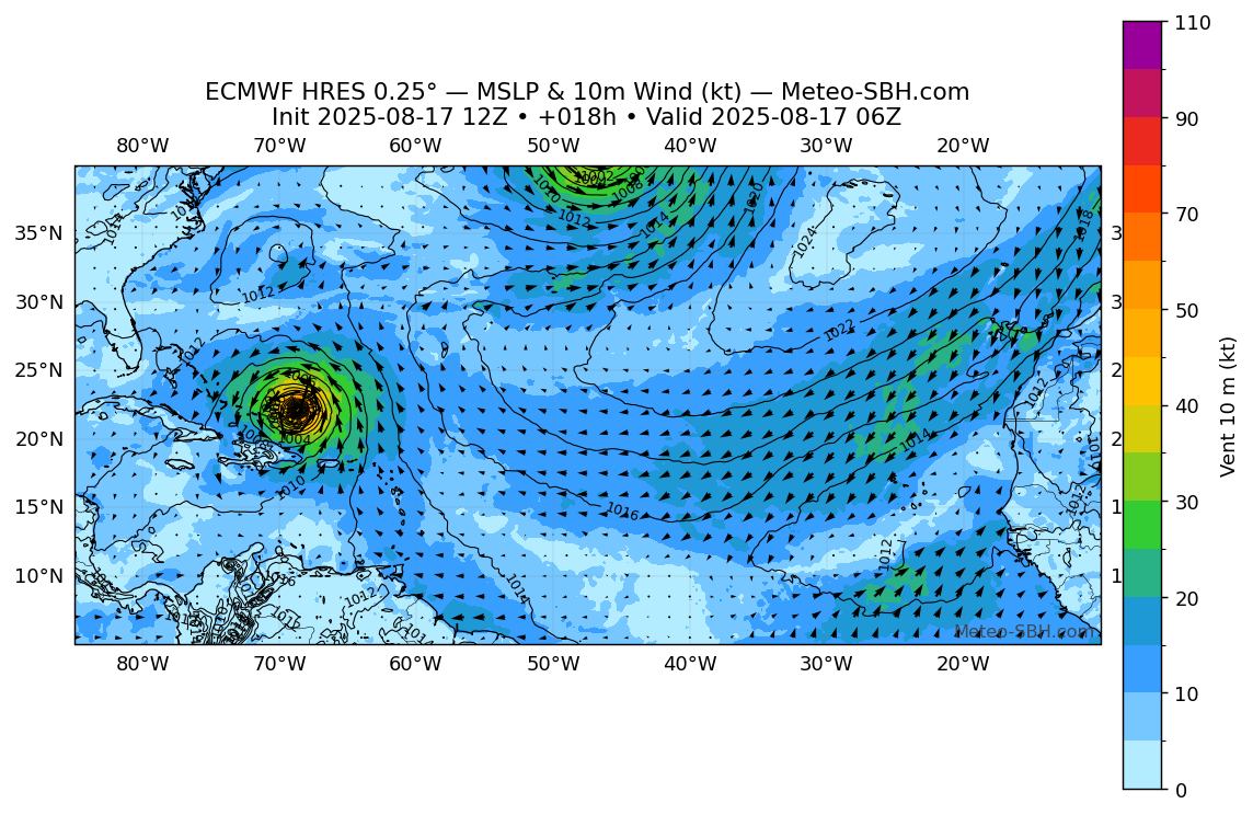
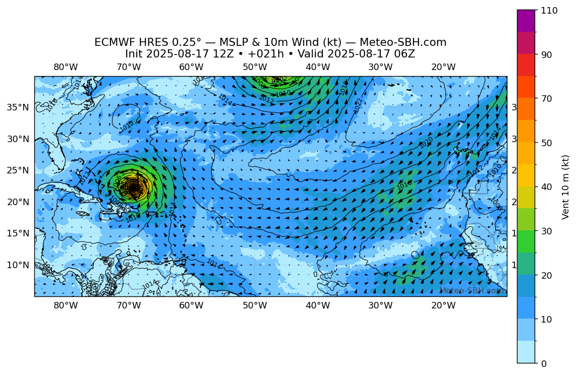
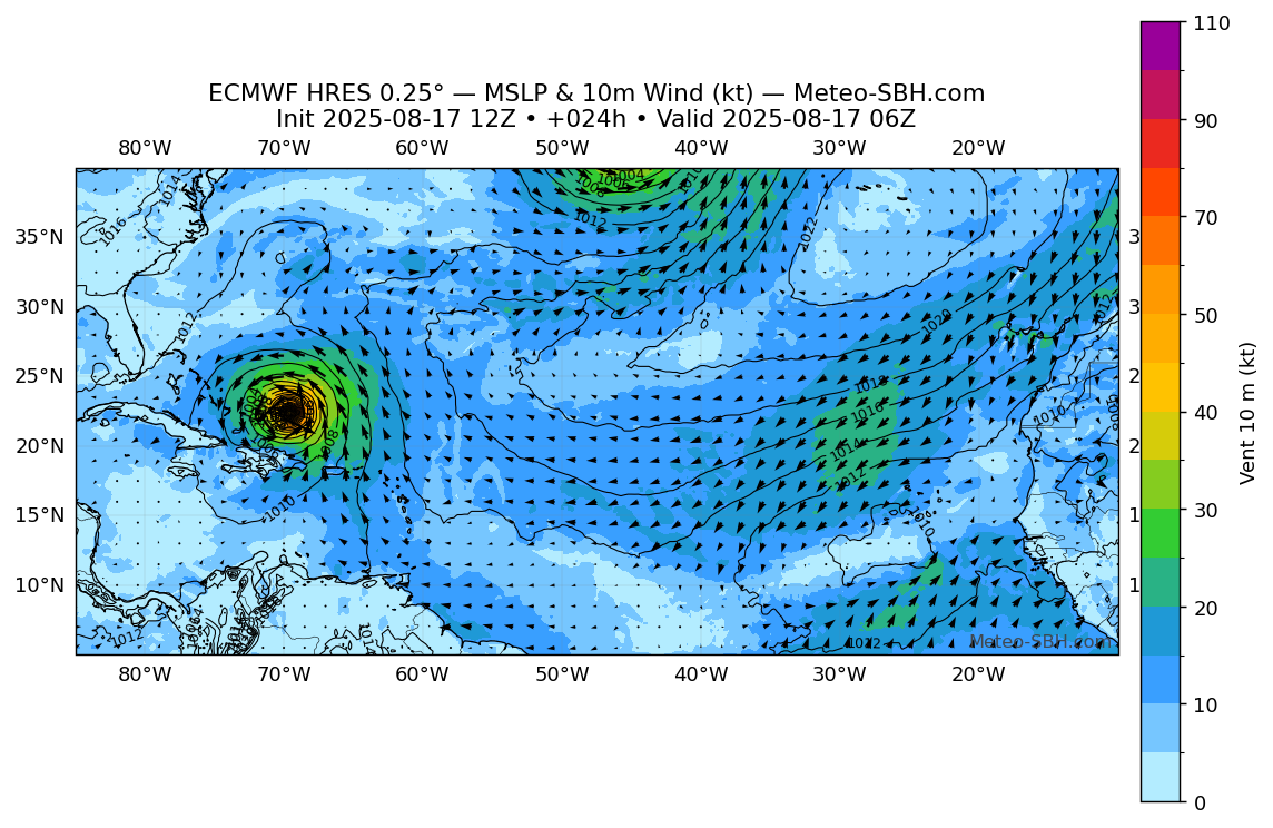
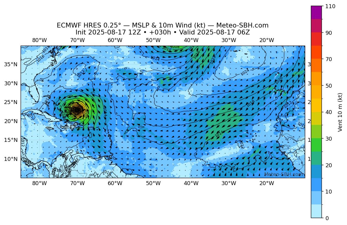
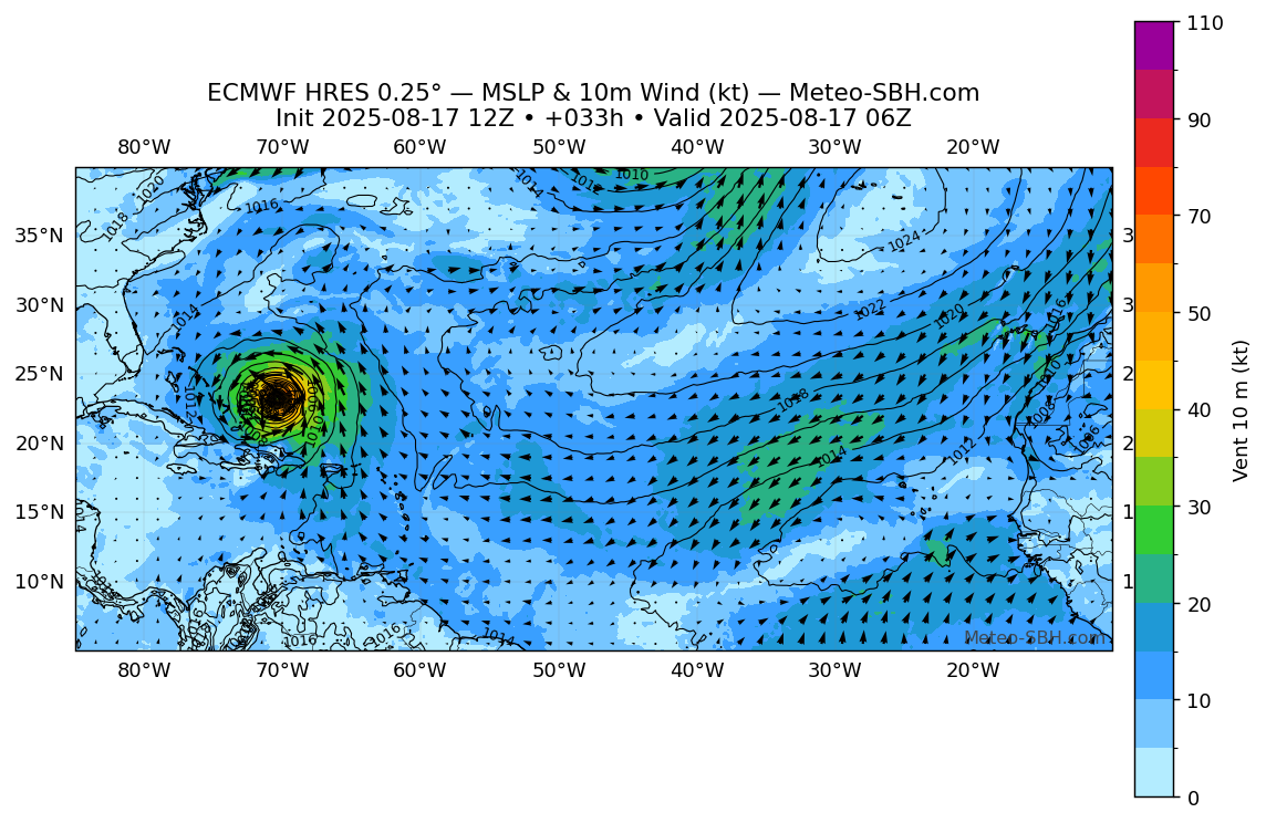
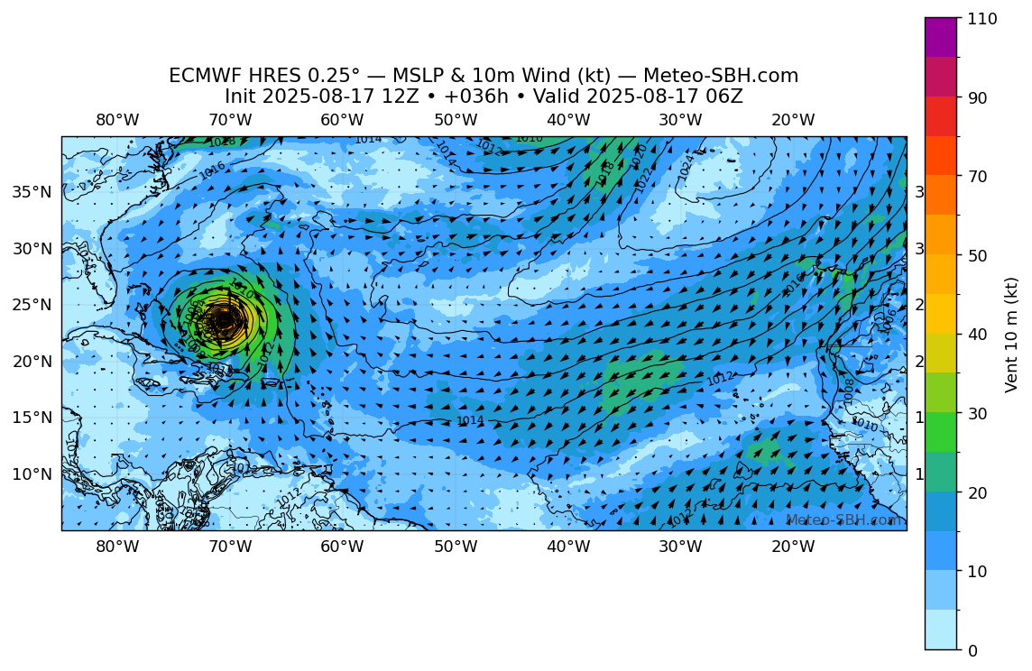
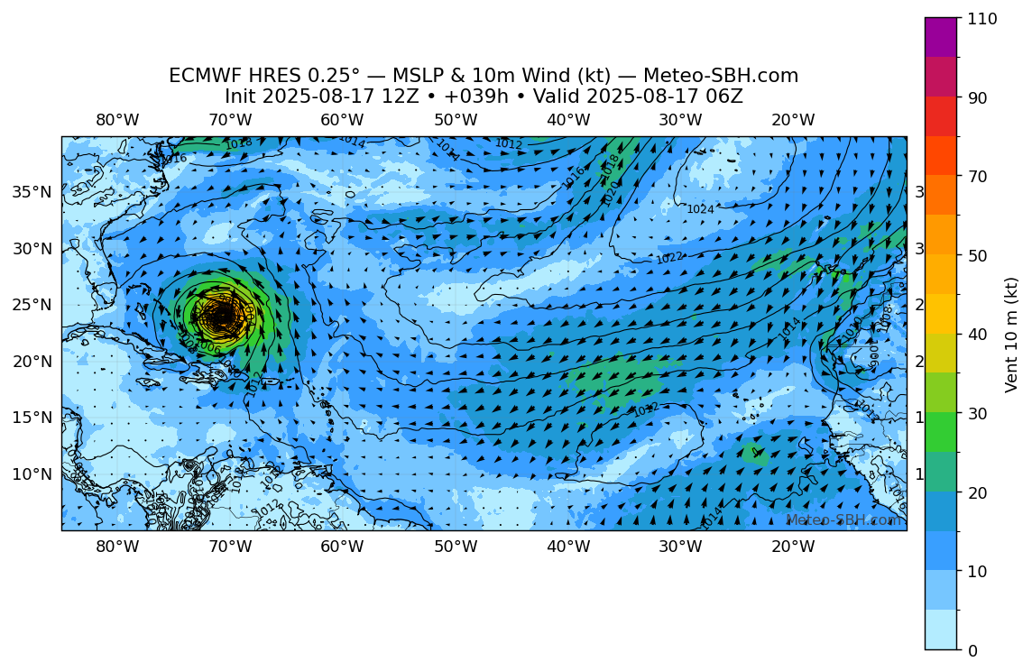
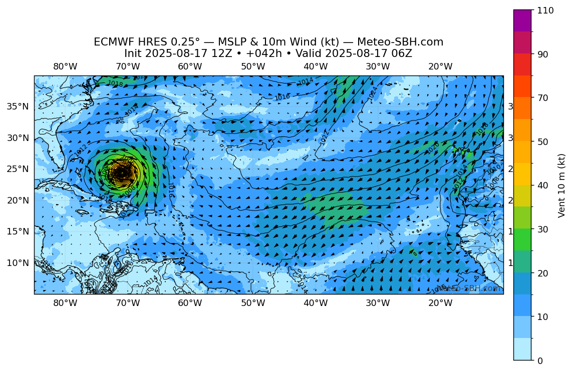
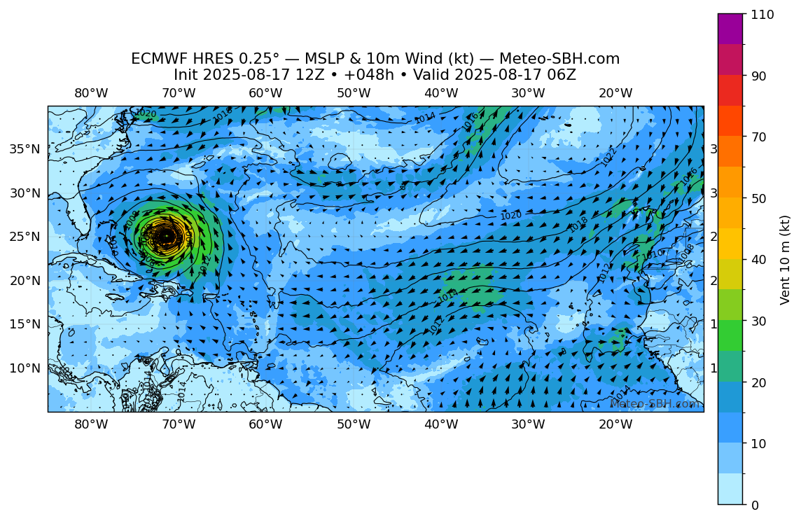
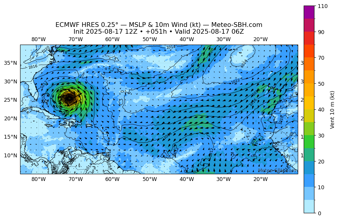
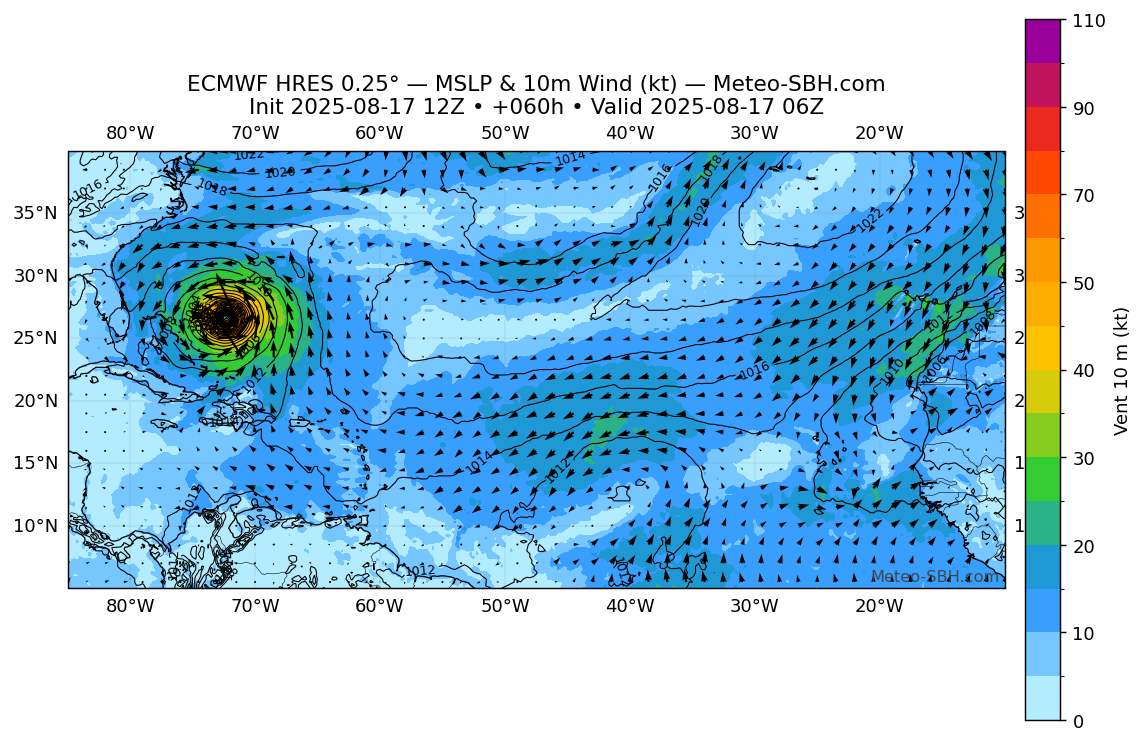
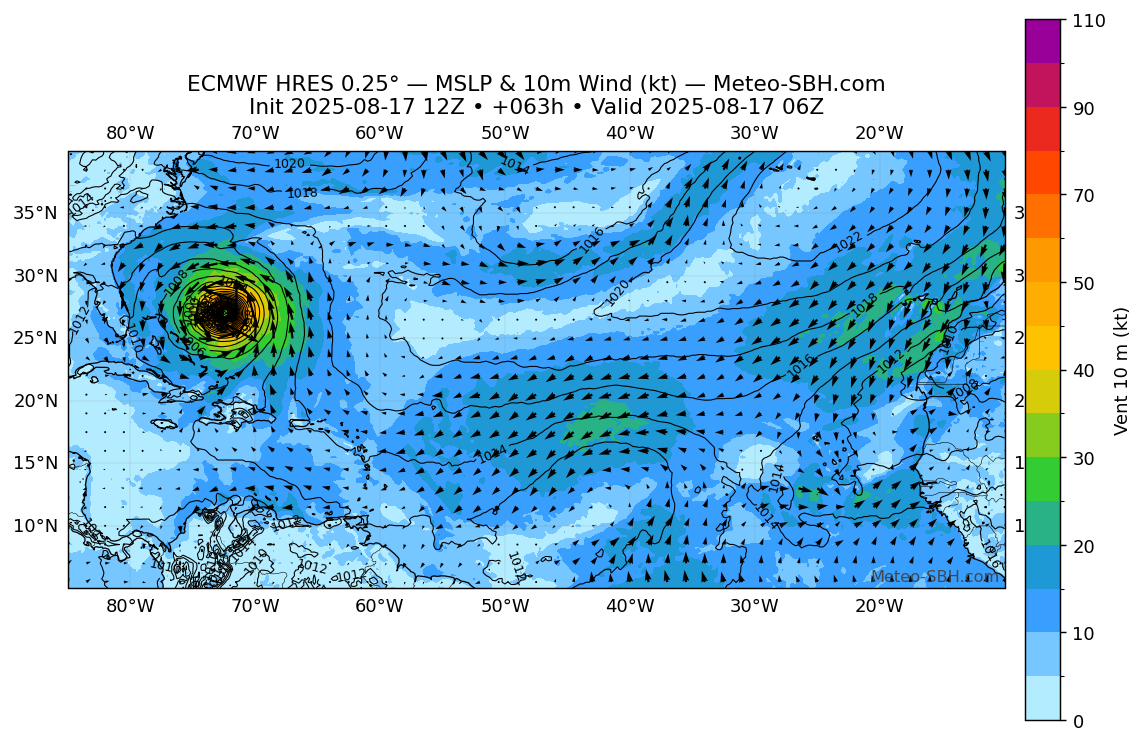
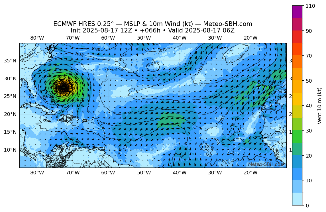
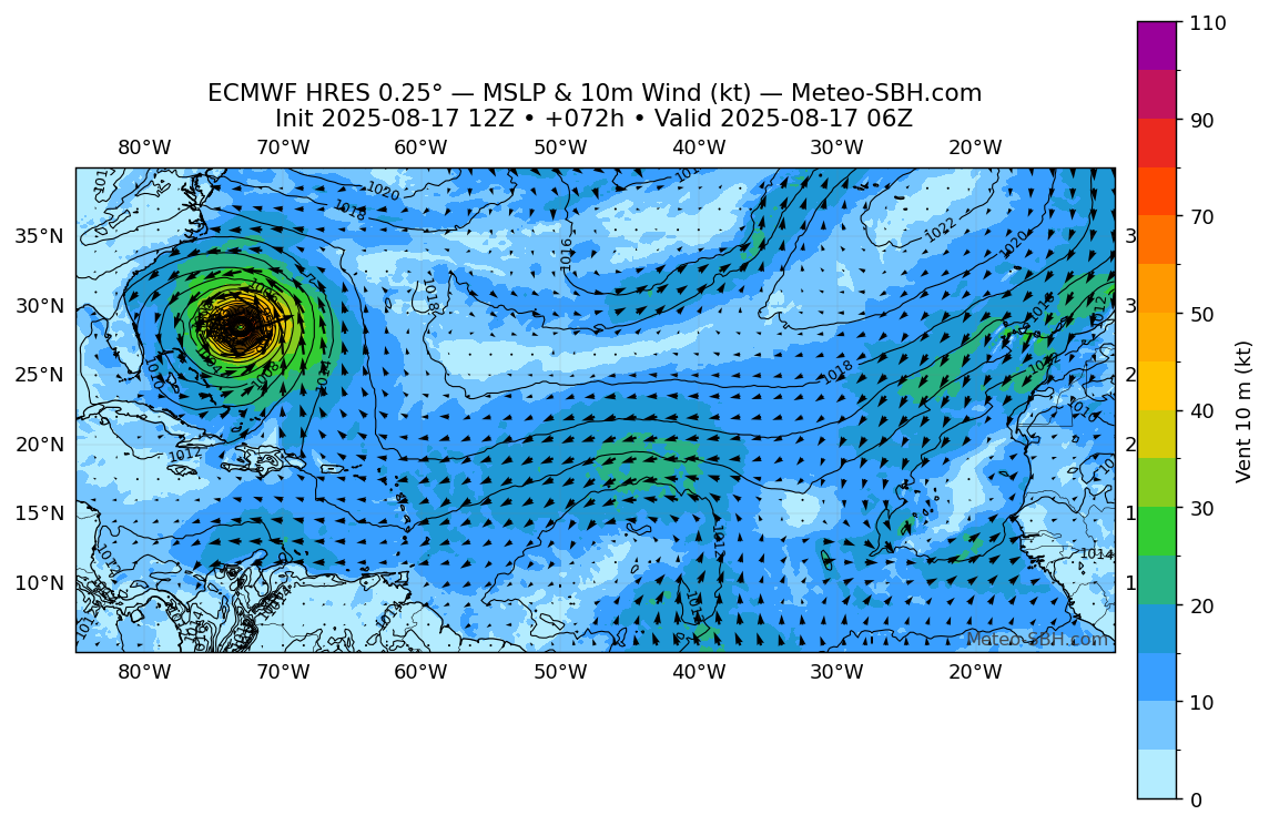
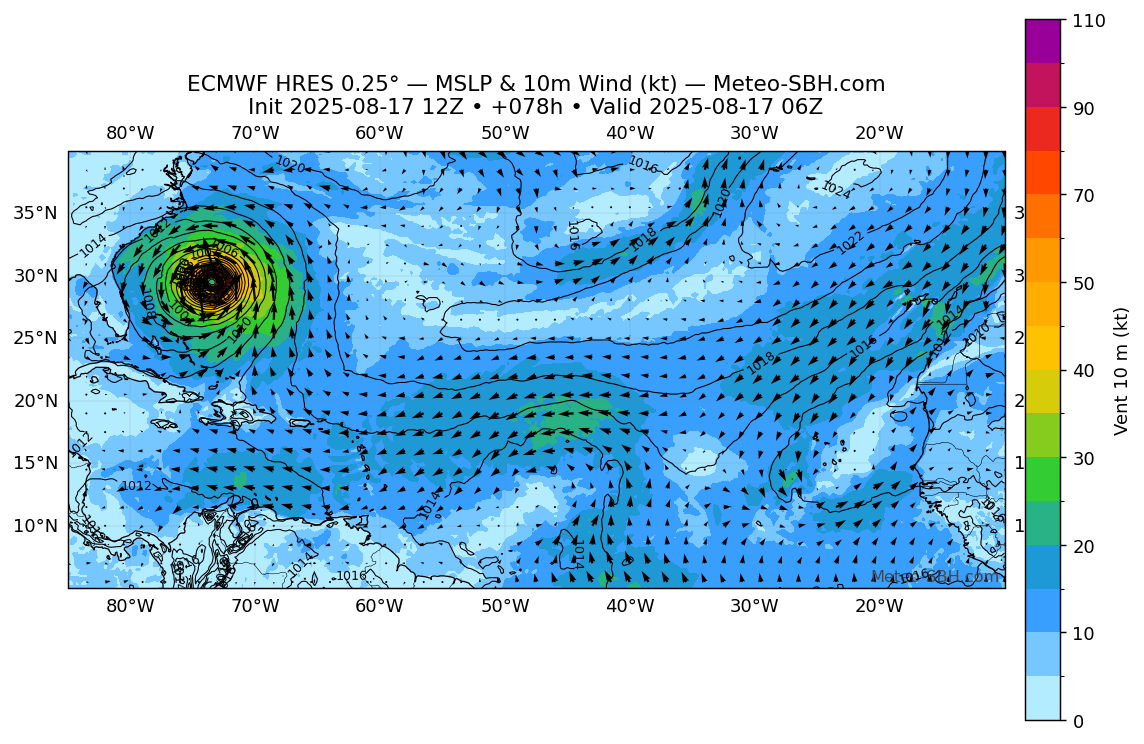
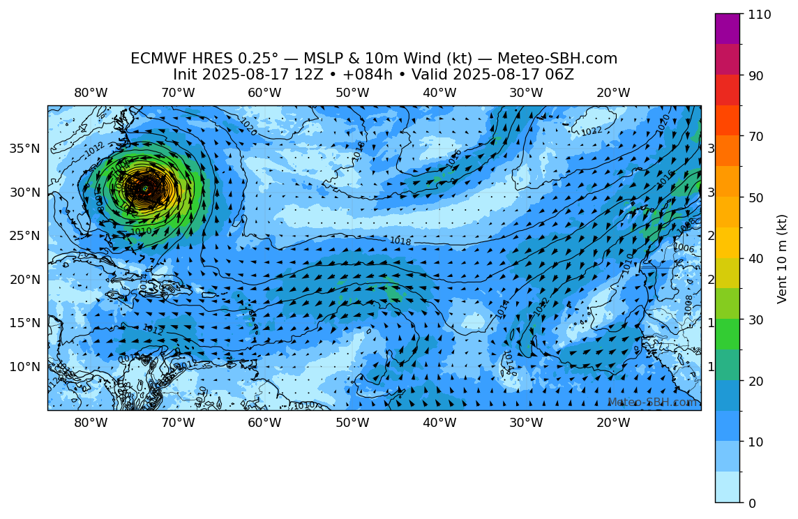
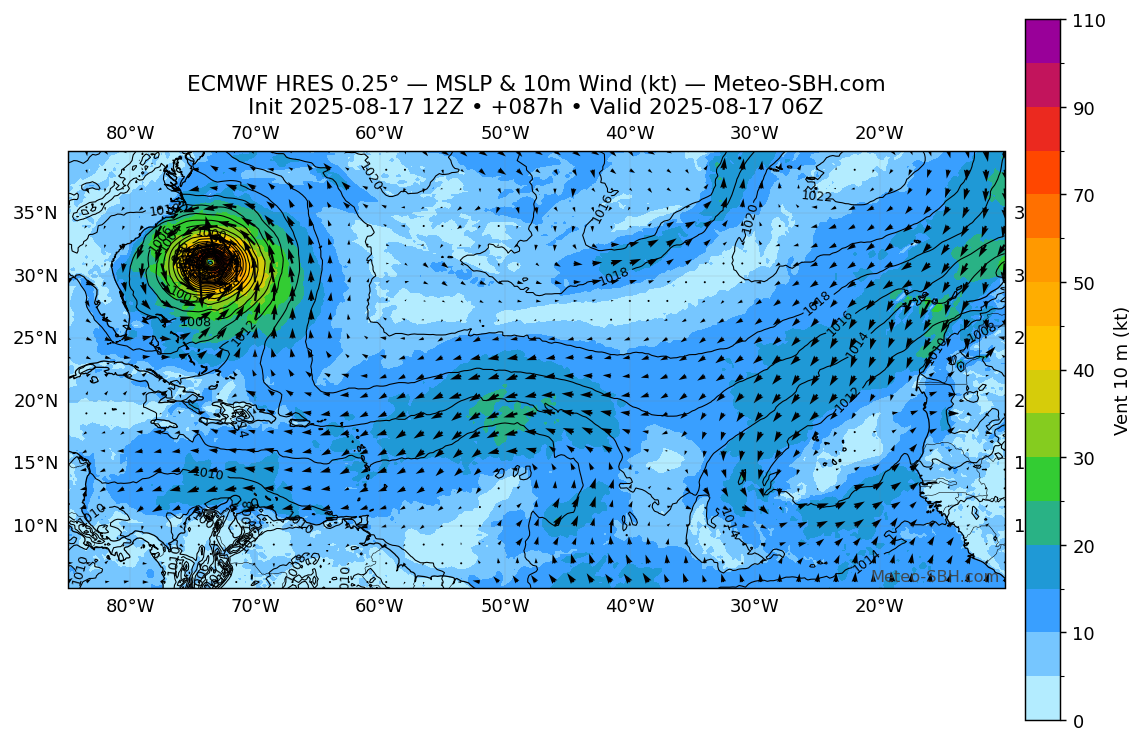
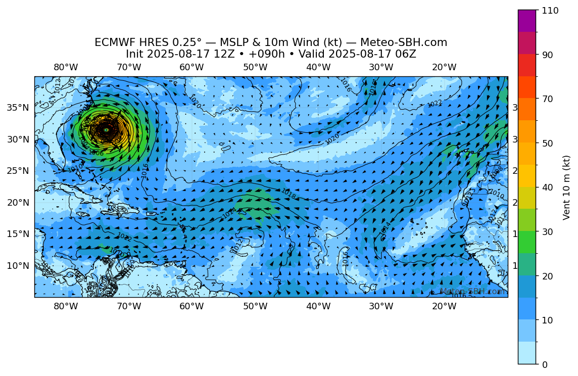
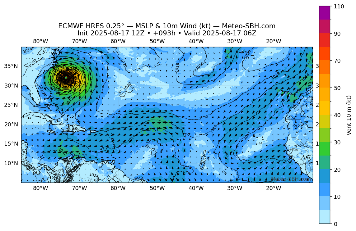
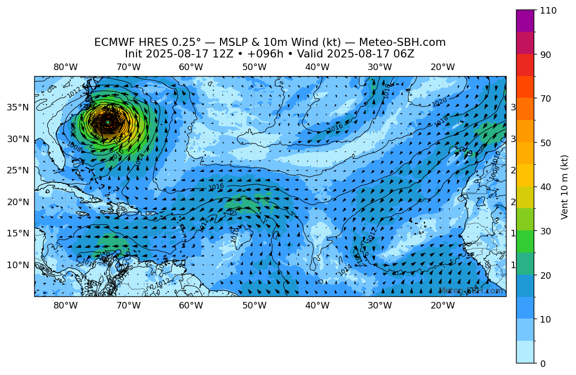
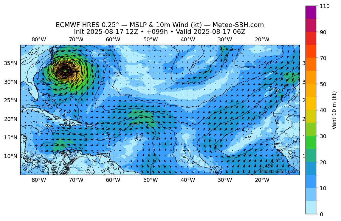
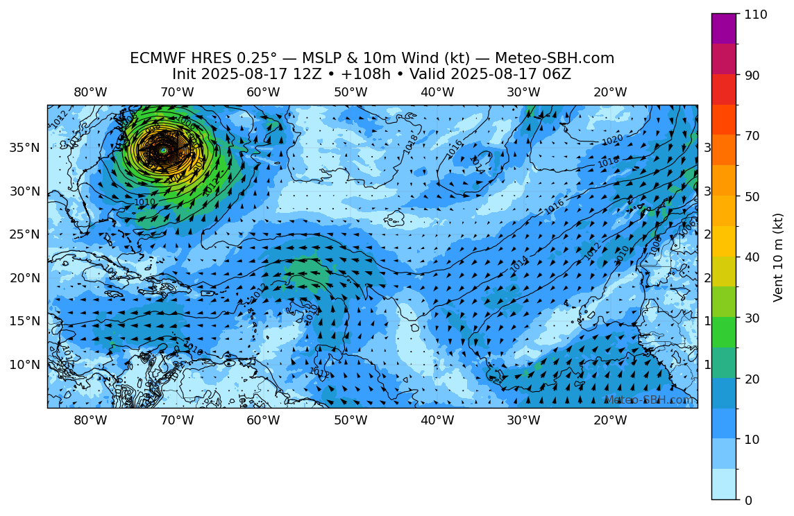
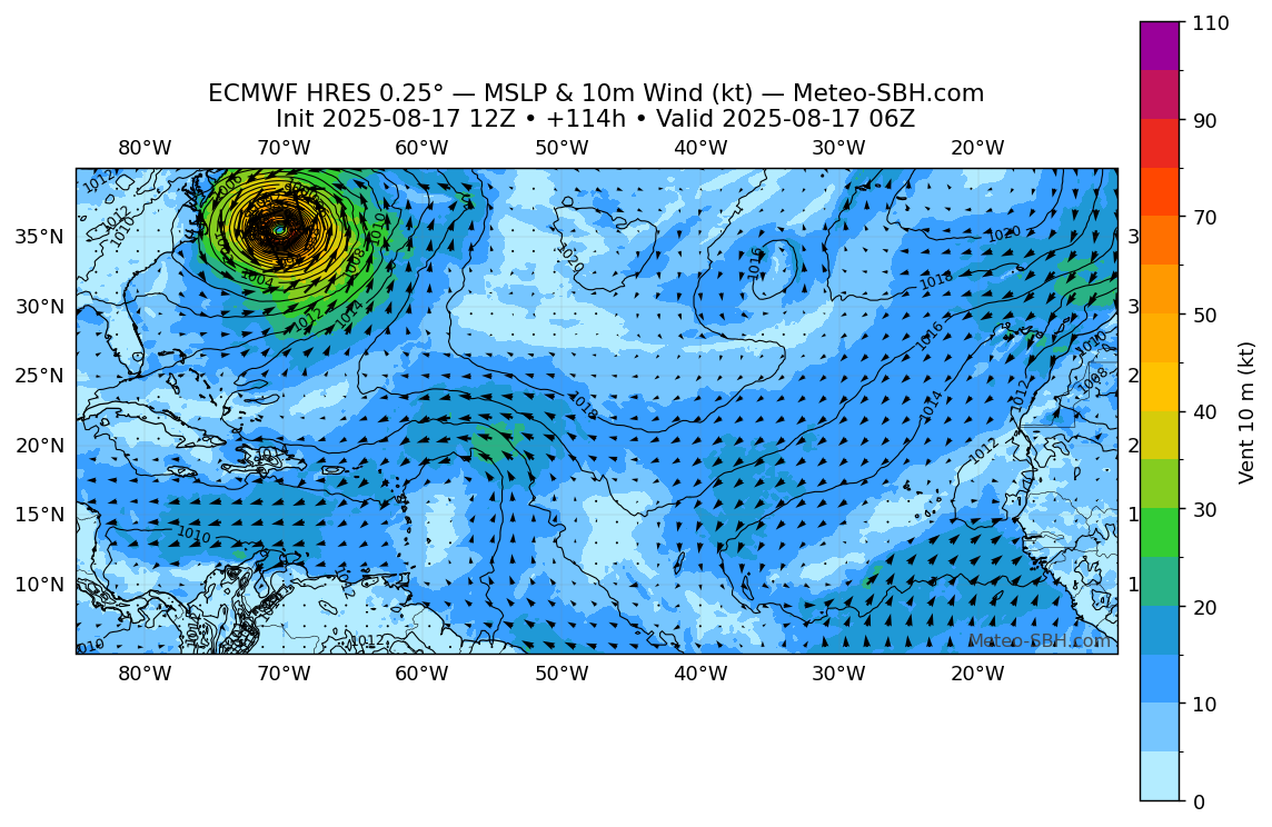
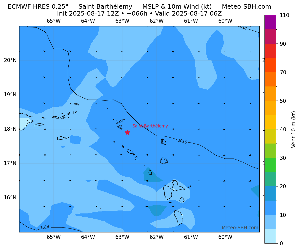
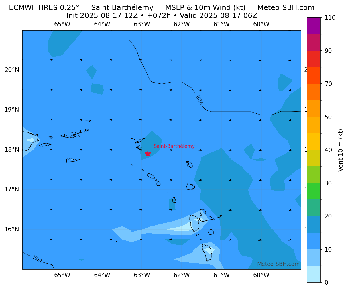
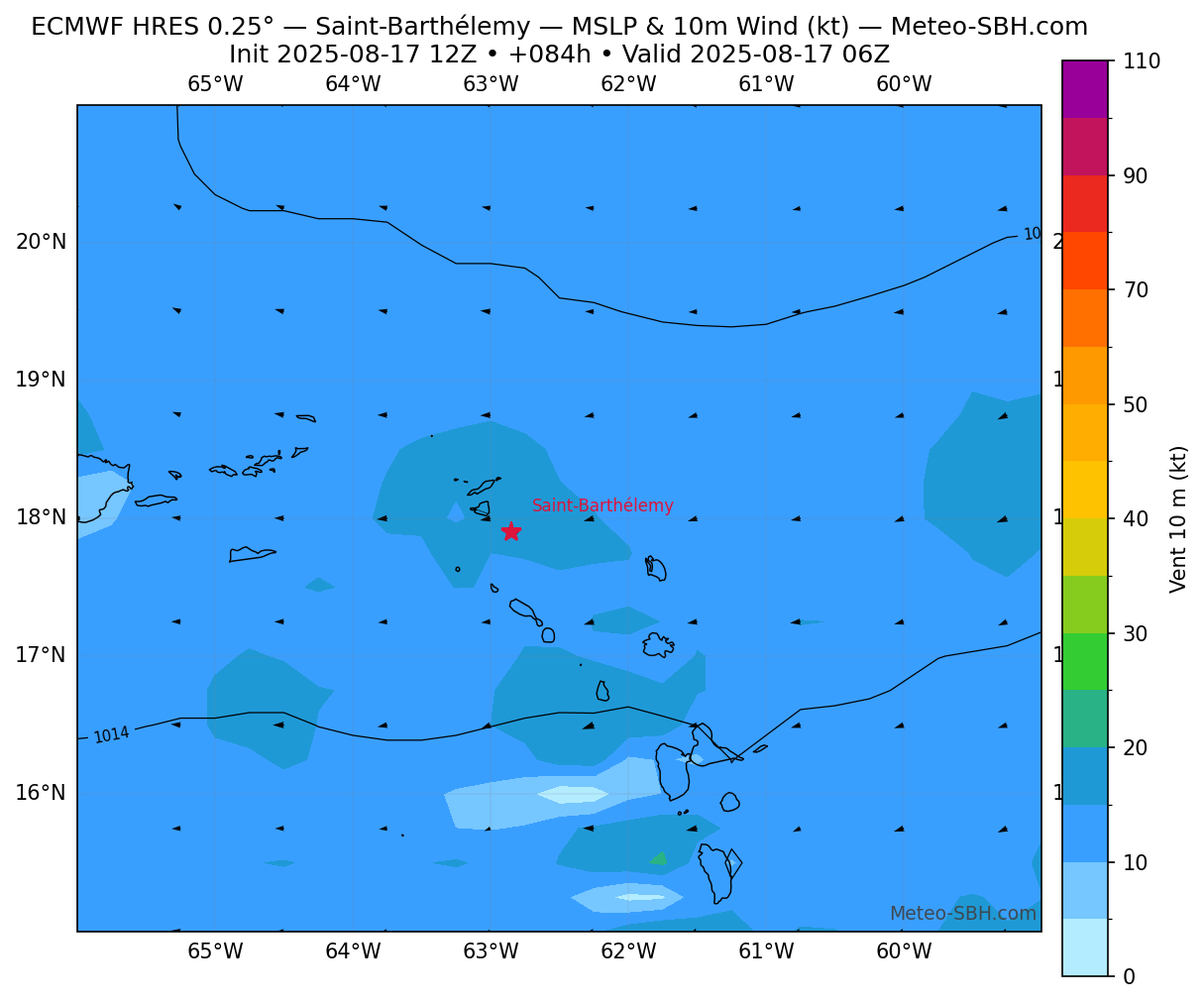
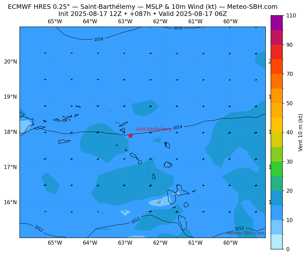
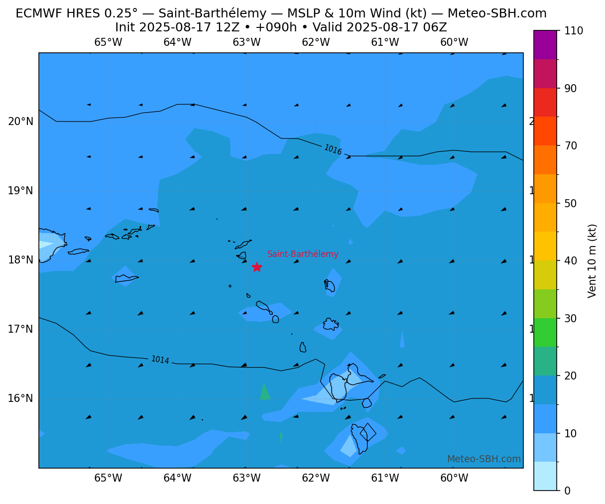
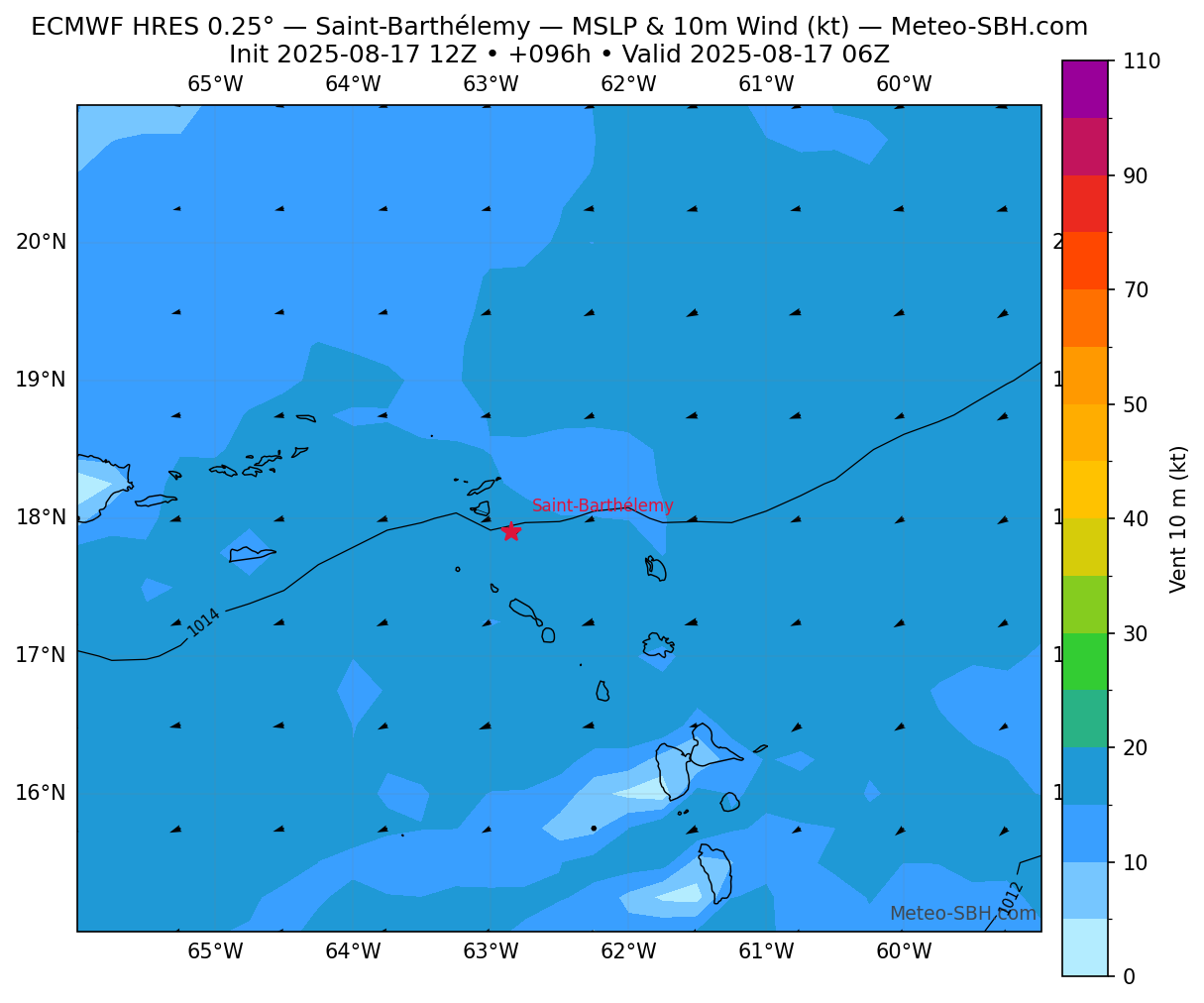
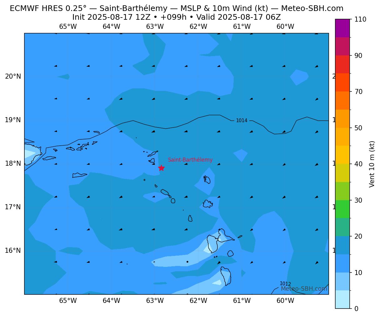
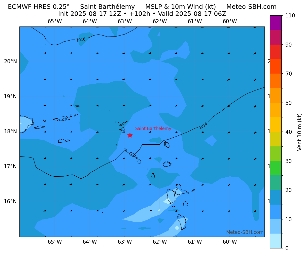
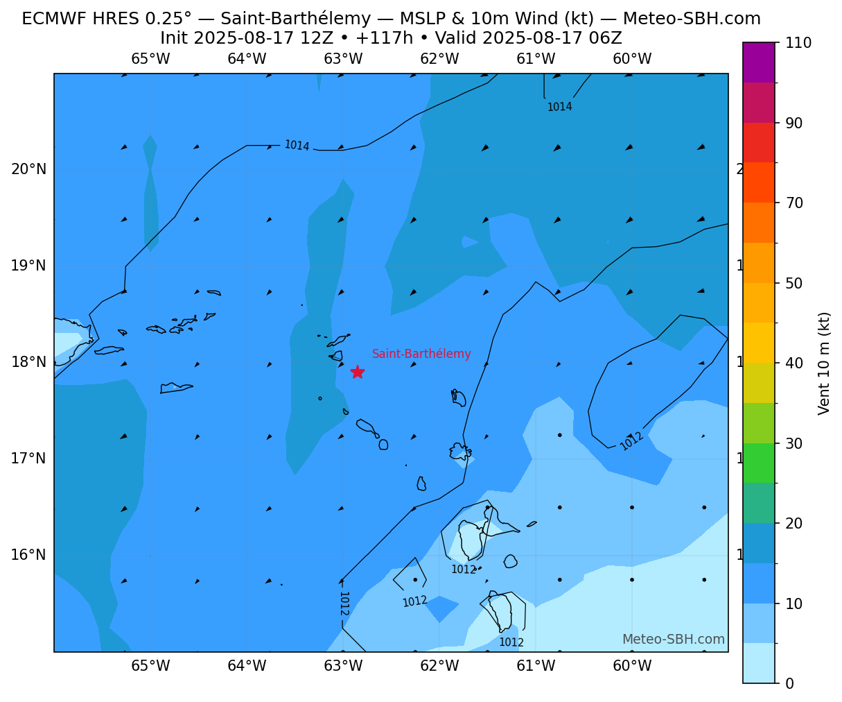
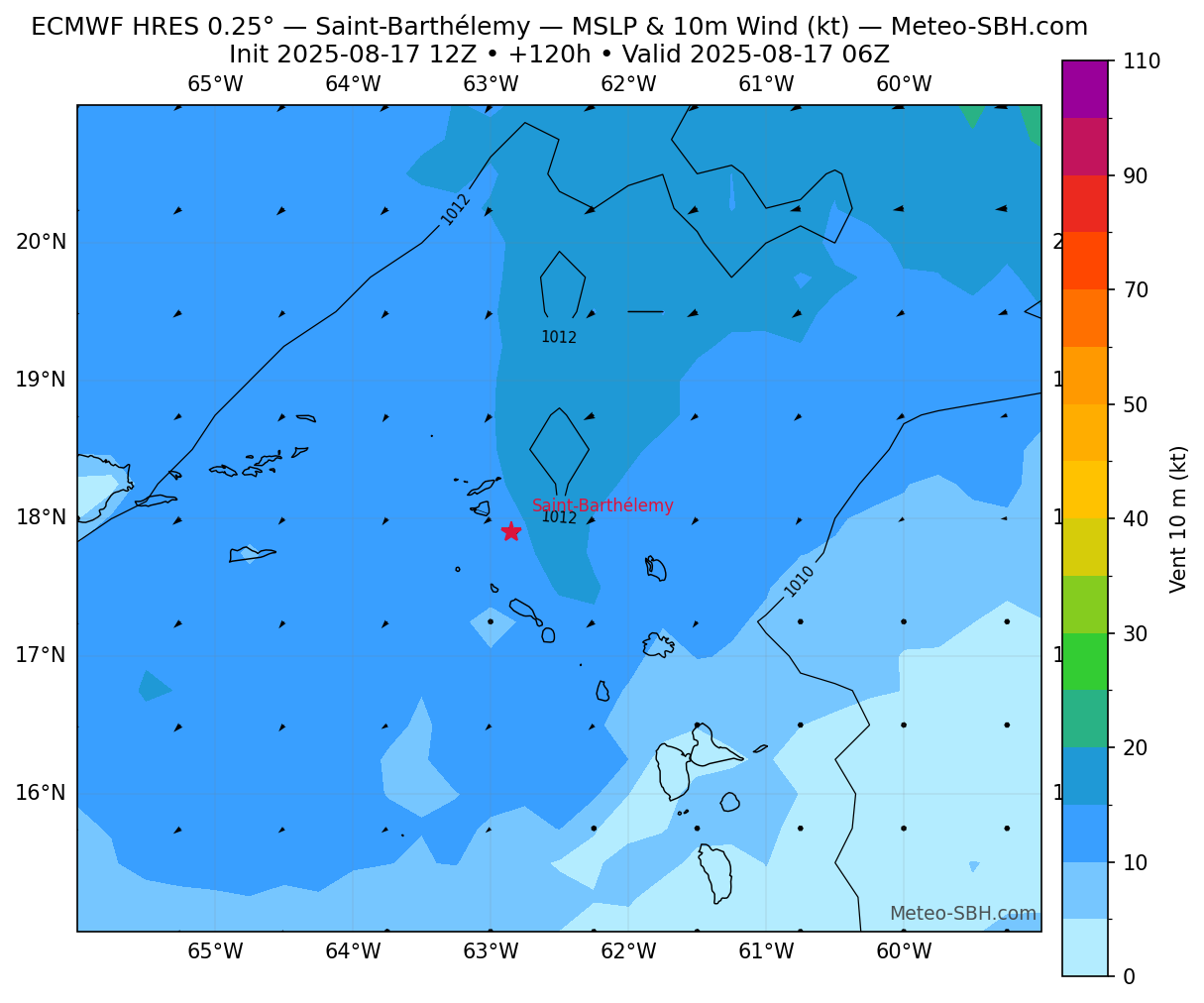
Vent en Surface
Précipitations
Zones de pression
Trackings
Vent en Surface - Défil. manuel
Carte Interactive - Meteoblue
meteoblue
Météogramme
meteoblue
Prévisions - Windy
Prévisions - NHC
Flux invalide
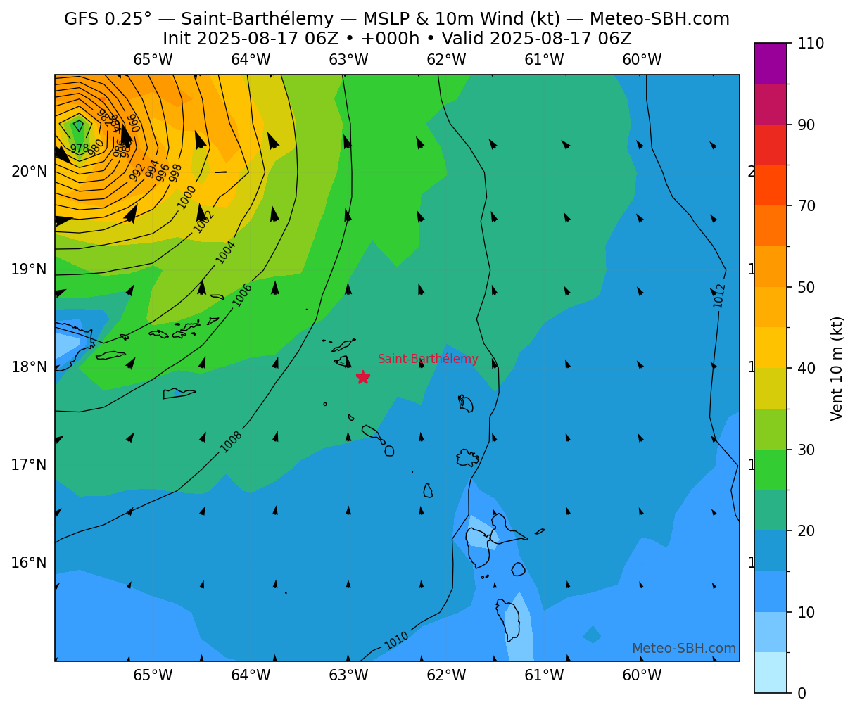
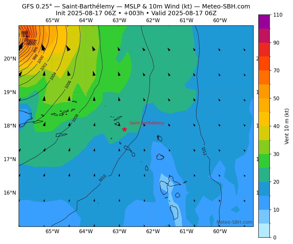
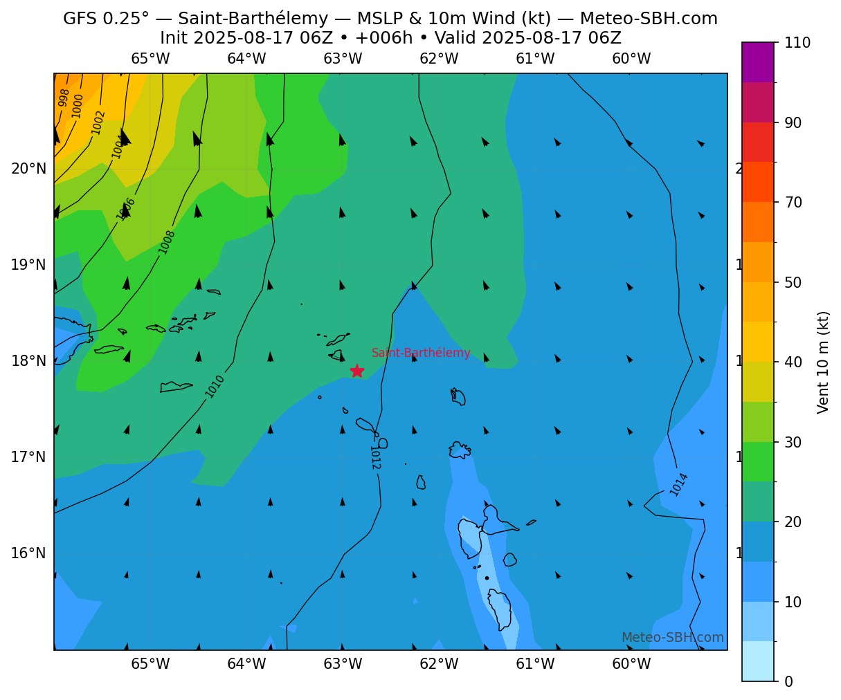
Modèles GFS - Centré sur St Barth
Vent en Surface
Précipitations
Zones de pression
Vent en Surface - Défil. manuel
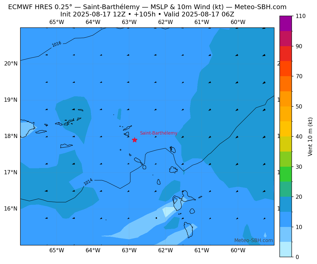
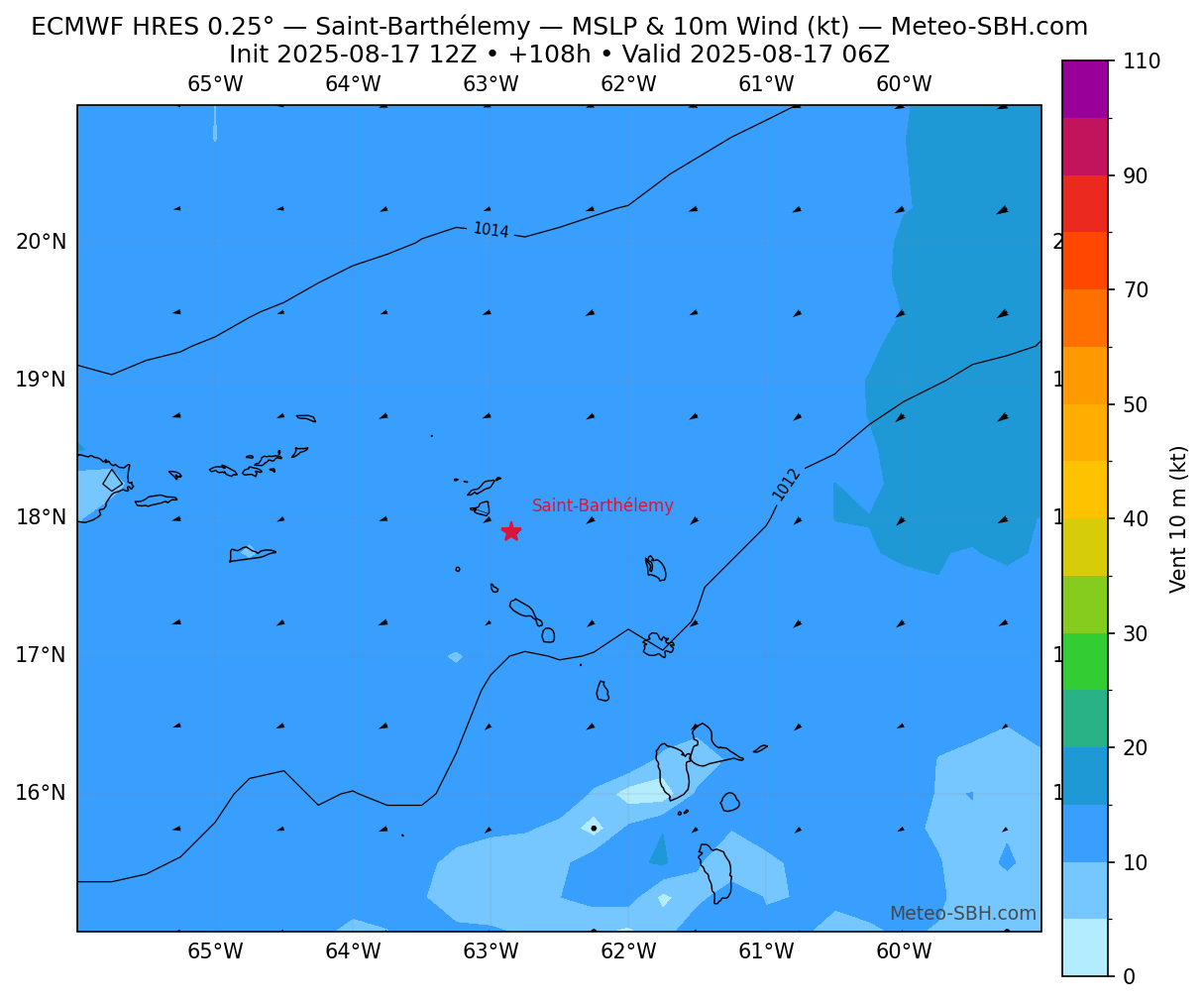
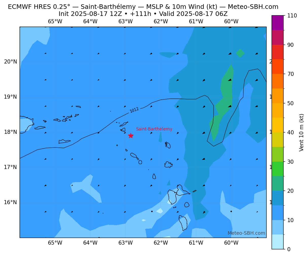
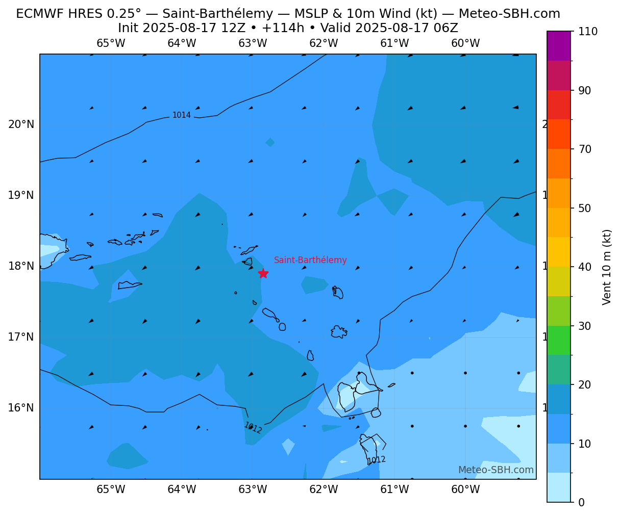
Modèles ECMWF - Centré sur St Barth
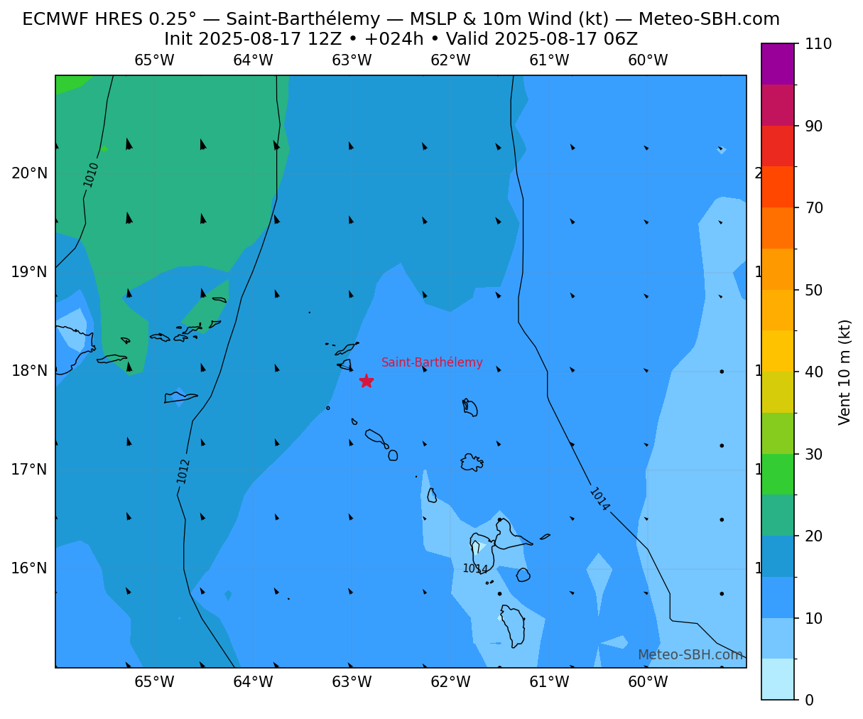
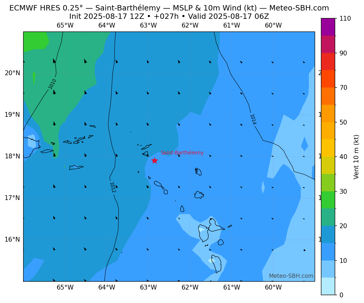
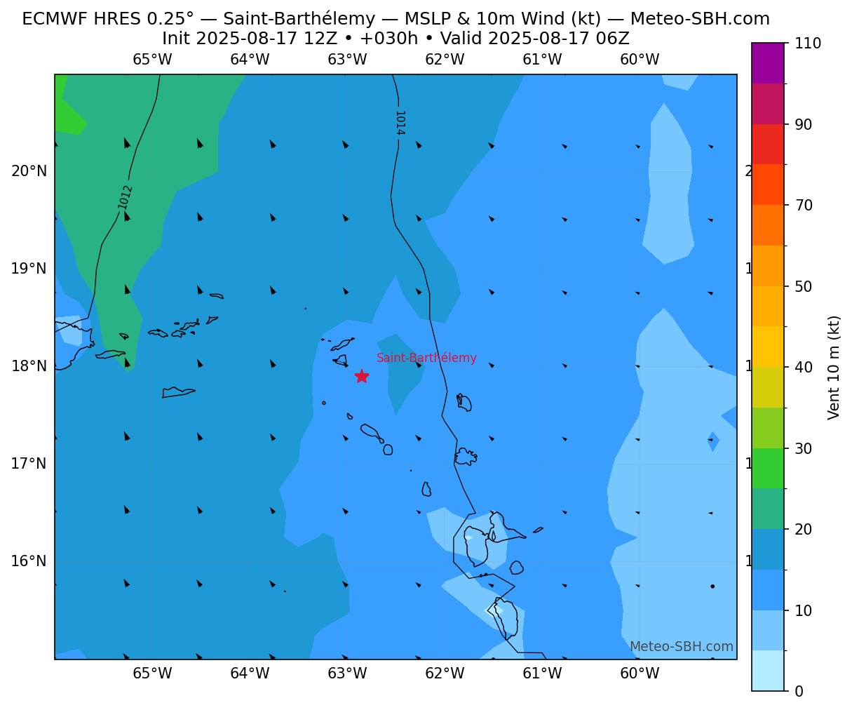
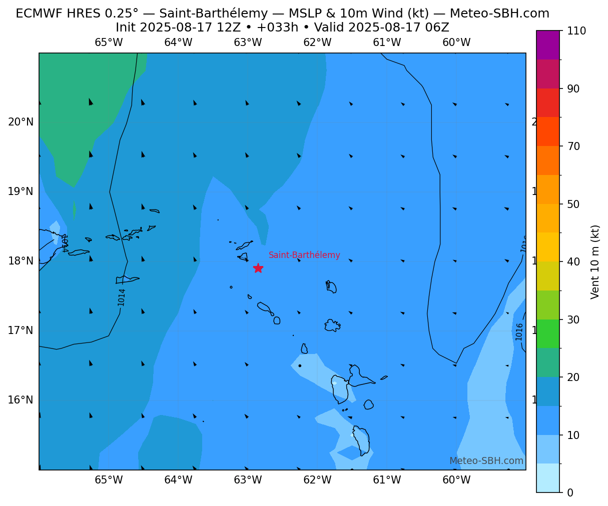
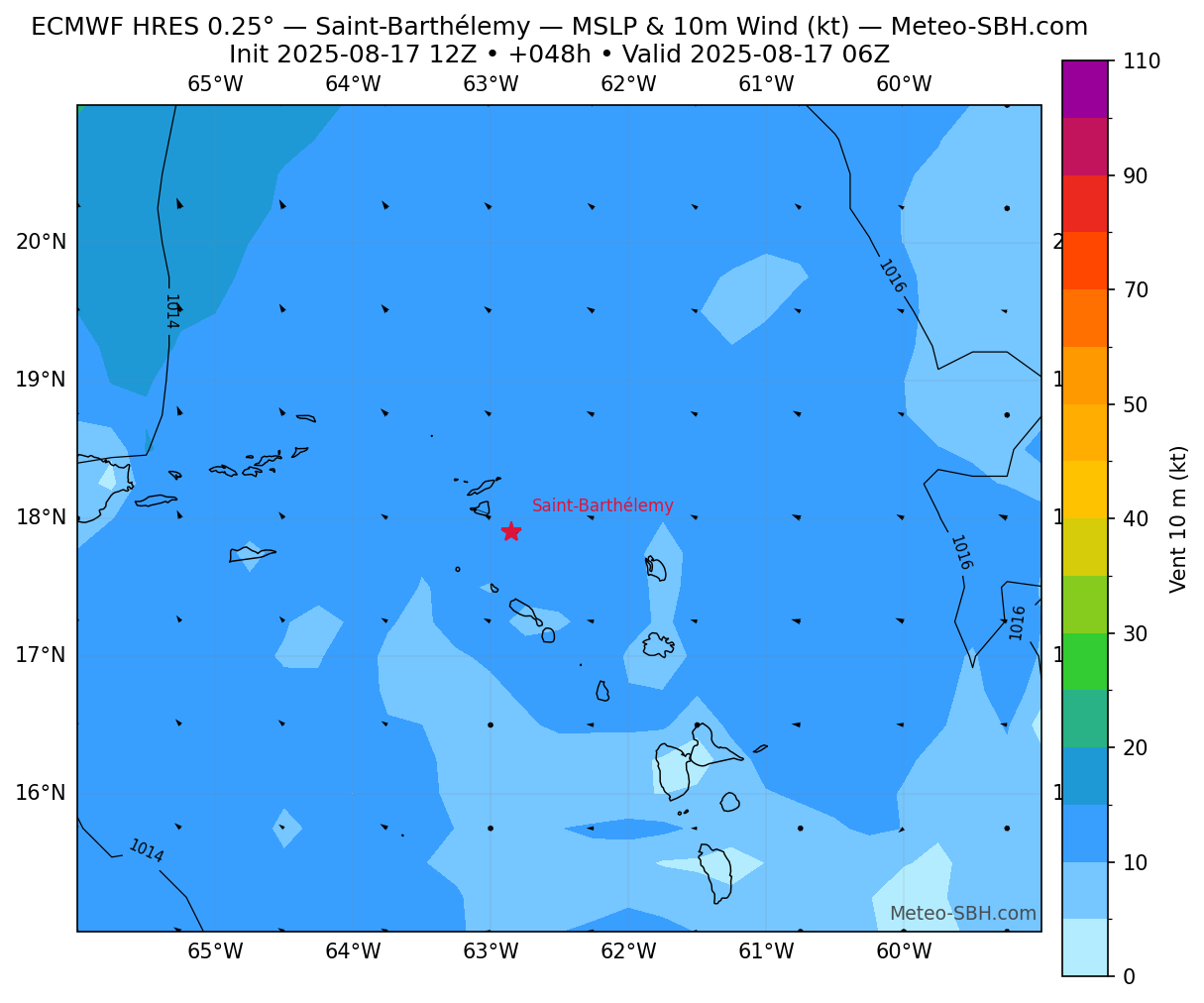
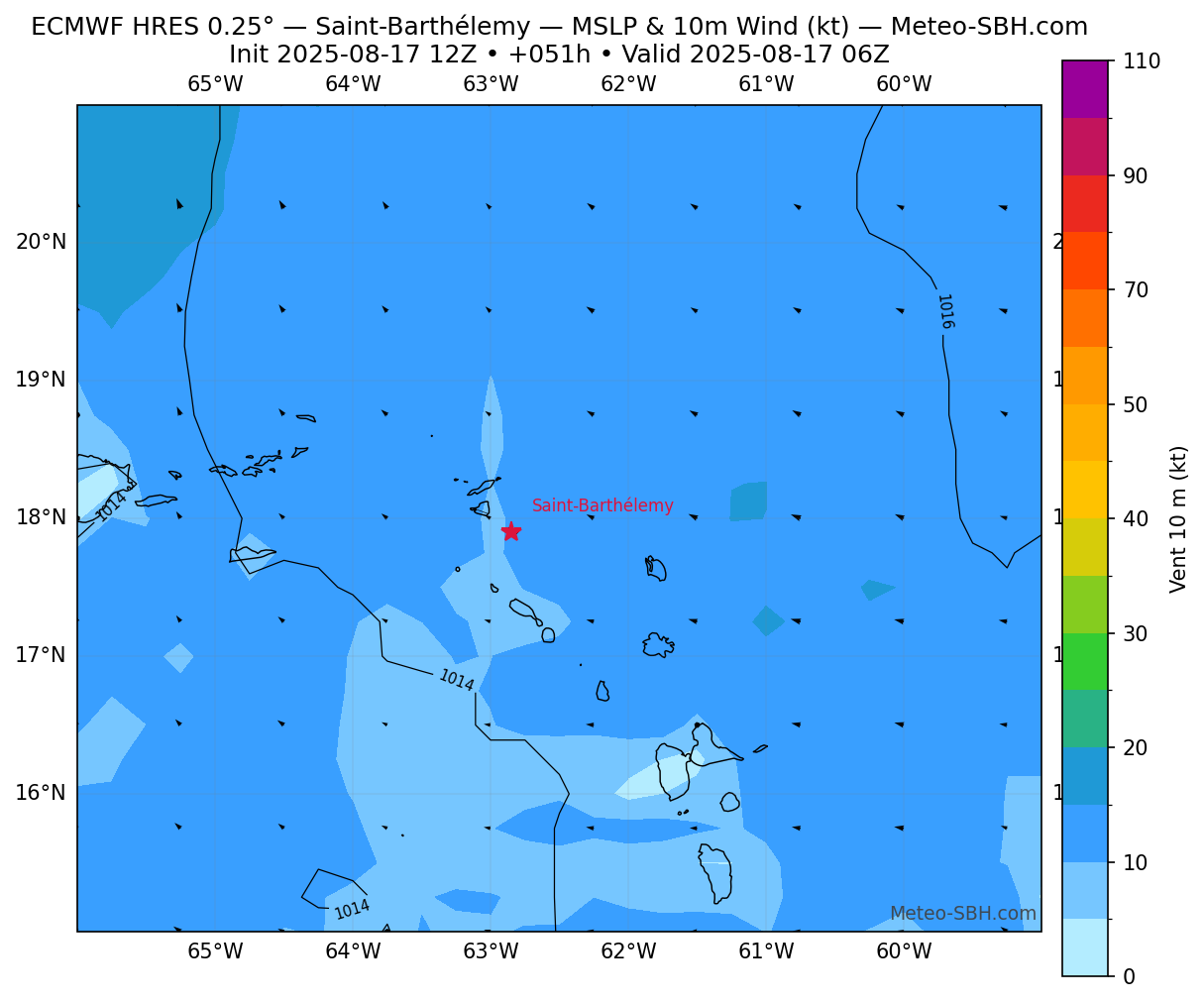
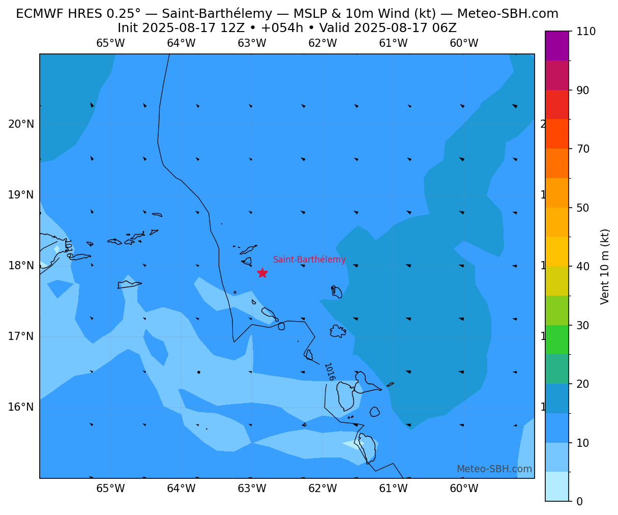
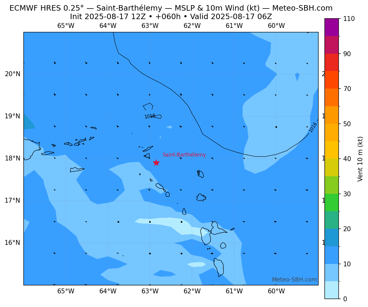
Vent en Surface
Précipitations
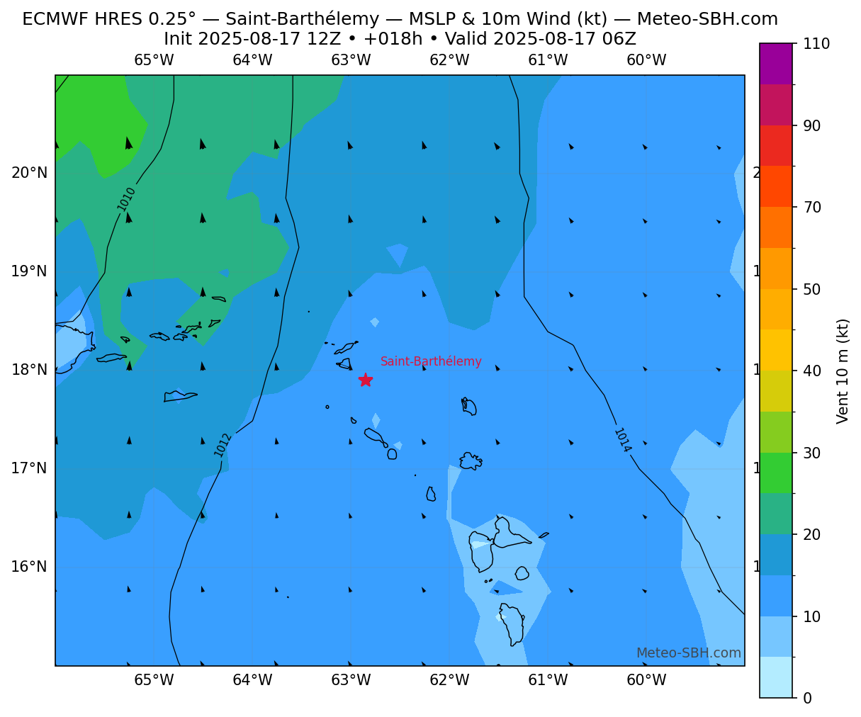
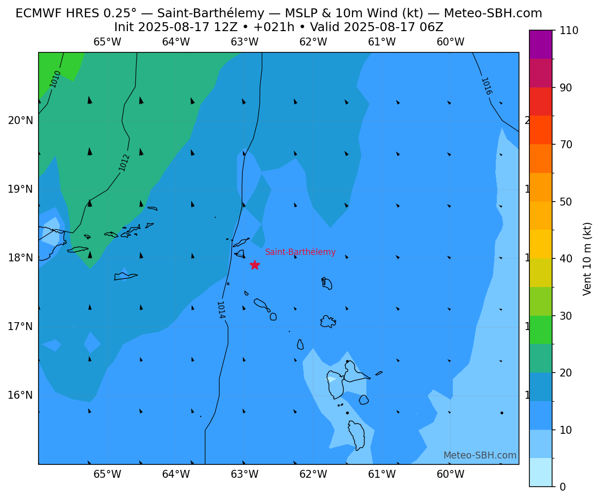
Zones de pression
Vent en Surface - Défil. manuel
Météogrammes
GFS
ECMWF
Météo France
Carte cisaillement du vent
Prévisions
meteoblue
Zone de formation probable
 Meteo-SBH.com
Meteo-SBH.com
Meteo-SBH.com